Egervár
| Egervár | |
|---|---|
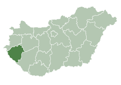
 Egervár Location of Egervár | |
| Coordinates: 46°56′08″N 16°51′13″E / 46.93552°N 16.85365°ECoordinates: 46°56′08″N 16°51′13″E / 46.93552°N 16.85365°E | |
| Country |
|
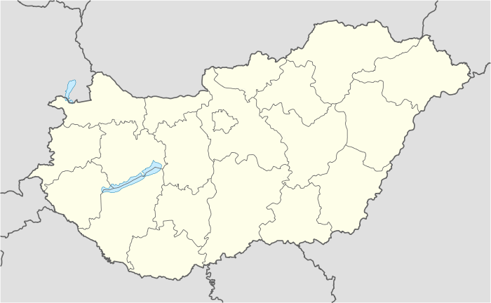
| County | Zala |
| Area | |
| • Total | 10.29 km2 (3.97 sq mi) |
| Population (2001) | |
| • Total | 1,063 |
| • Density | 103.3/km2 (268/sq mi) |
| Time zone | CET (UTC+1) |
| • Summer (DST) | CEST (UTC+2) |
| Postal code | 8913 |
| Area code(s) | 92 |
Egervár is a village[1] in Zala County, Hungary.

Castle of Egervár
References
- ↑ "Summary". Sulinet, educational site of the Hungarian government. Archived from the original on 2008-02-25. Retrieved 2008-05-22.
This article is issued from Wikipedia - version of the 10/8/2015. The text is available under the Creative Commons Attribution/Share Alike but additional terms may apply for the media files.