Estuary, Saskatchewan
| Estuary, Saskatchewan | |
|---|---|
| Unincorporated Hamlet | |
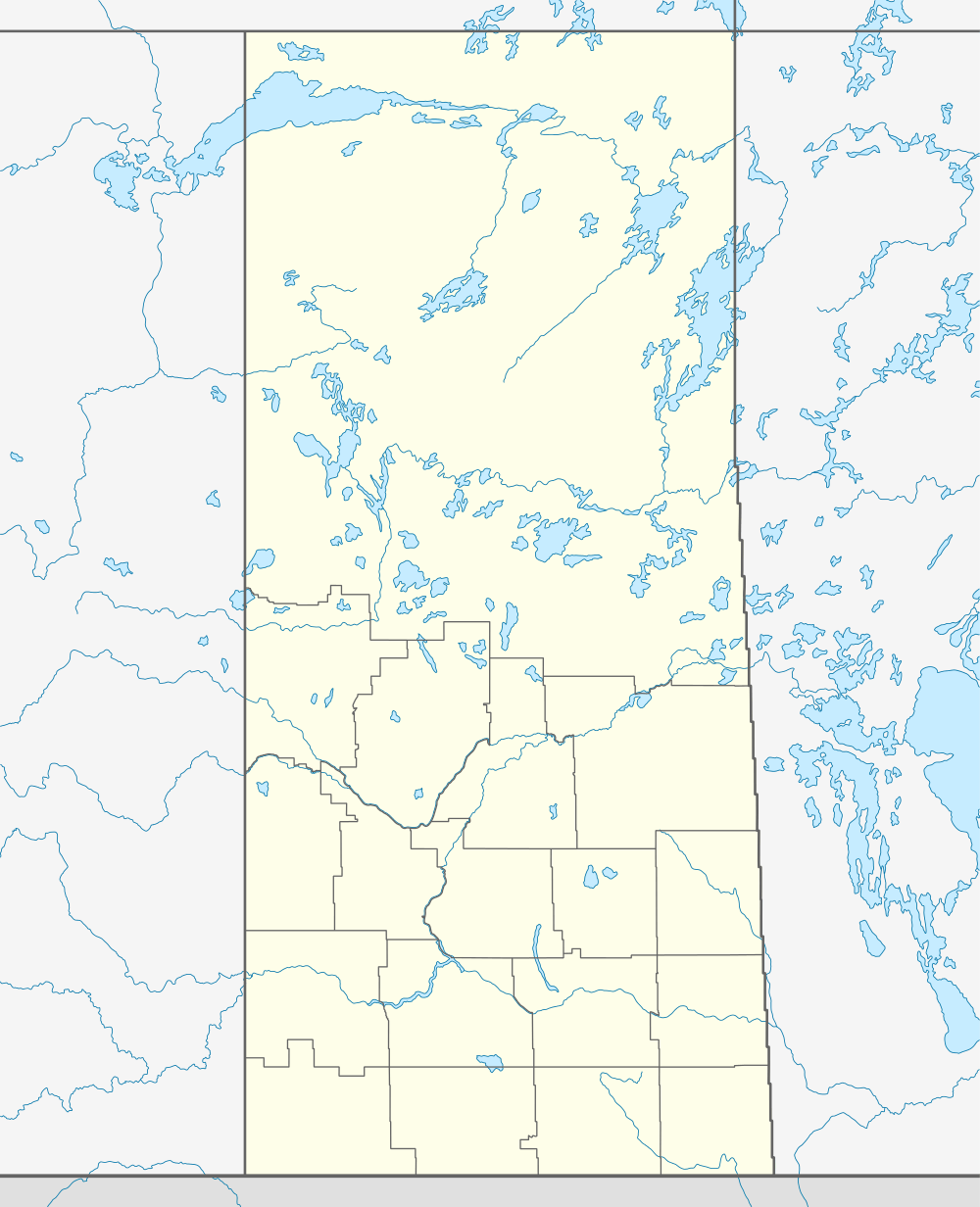  Location of Estuary in Saskatchewan | |
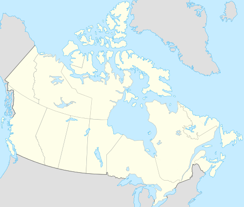
| Coordinates: 50°55′59″N 109°54′00″W / 50.933°N 109.900°W | |
| Country | Canada |
| Province | Saskatchewan |
| Region | Southwest Saskatchewan |
| Census division | 15 |
| Rural Municipality | Deer Forks |
| Established | April 19, 1914 |
| Incorporated (Village) | between 1914-1917 |
| Restructured (Hamlet) | 1930 |
| Government | |
| • Reeve | Doug Smith |
| • Administrator | Tim C. Lozinsky |
| • Governing body | Deer Forks No. 232 |
| Population (2006) | |
| • Total | 1 |
| Postal code | N/A |
| Area code(s) | 306 |
| Highways | Highway 635 |
| Waterways | South Saskatchewan River |
| [1][2][3][4] | |
Estuary is a hamlet in Deer Forks Rural Municipality No. 232, Saskatchewan, Canada. Nothing or very little remains of the former village of 800, but a private residence and a pioneer cemetery on a small hill known as Cemetery Hill, overlooking the South Saskatchewan River.
History
The development of a townsite was registered on April 19, 1914 along the future site of the Canadian Pacific Railway branch line between Leader, Saskatchewan and Empress, Alberta. With the railway came a flood of settlers to the area, most of whom were Germans . By the time World War I began the growth of the new community of Estuary swelled from a few hardy pioneers to a booming 800 citizens.
From 1914–1954 Estuary had some 163 businesses, including its own power plant, a weekly newspaper, a theater, 6 blacksmith shops, 10 livery barns, 6 rooming houses, 6 hardware stores, 10 cafes/restaurants, 13 service stations, 23 grocery stores including a department store, and 7 grain elevators.
The decline
Throughout Estuary's short lived history there have been many mysterious fires, two of which were devastating to the town. One in 1917 destroyed 18 properties and another in 1928. Also several other minor fires which were just as mysterious were set. Because of Estuary's serious decline after the end of World War I it was believed that the fires were deliberately set in order to collect insurance.
In 1919 the town was hit hardest when the Canadian Pacific Railway decided to go ahead with plans to build a branch line from Leader to the new town of Burstall, causing a reduction of grain coming into town. Feeling betrayed by the railway company many residents picked up and left never to come back, taking everything with them including their homes and businesses.
The 1930s brought another blow to the once prosperous village. Starting with the restructuring of the community's village status to a hamlet in 1930. By 1951 the fuel dealership shut its doors, soon after in 1966 the community's last store was closed. The railway station was bought and moved away in 1970 and the last remaining businesses, the three remaining grain elevators were closed and demolished in 1982.
Notable people
Birthplace of Rudolph Graff, 1918 who farmed at Vulcan, Alberta until his death in 2007
- Oswald Schneider, a husband & father of nine, and early village councilor of Estuary. He was also the owner of a livery, feed barn, a rooming house, power plant and the elegant Sunset Theater in the village.[5]
See also
- List of communities in Saskatchewan
- Hamlets of Saskatchewan
- List of ghost towns in Canada
- Ghost towns in Saskatchewan
References
- ↑ National Archives, Archivia Net, Post Offices and Postmasters
- ↑ Government of Saskatchewan, MRD Home, Municipal Directory System, archived from the original on November 21, 2008
- ↑ Canadian Textiles Institute. (2005), CTI Determine your provincial constituency
- ↑ Commissioner of Canada Elections, Chief Electoral Officer of Canada (2005), Elections Canada On-line, archived from the original on April 21, 2007
- ↑ Oswald Schneider
External links
- Estuary history at ghosttownpix.com
- Ghost towns list - ghosttownpix.com
- Ghost Towns Canada
 |
Cuthbert | Mantario McLean Island |
Laporte | |
| Empress, Alberta | |
Westerham Leader | ||
| ||||
| | ||||
| McNeill, Alberta | Burstall | Mendham |
| Subdivisions | |
|---|---|
| Communities | |
| Cities | |
| Topics |
|
| |
Coordinates: 50°55′59″N 109°54′00″W / 50.933°N 109.900°W