Farrell, Mississippi
| Farrell, Mississippi | |
|---|---|
| Census-designated place | |
 | |
 Farrell | |
| Coordinates: 34°15′51″N 90°40′20″W / 34.26417°N 90.67222°WCoordinates: 34°15′51″N 90°40′20″W / 34.26417°N 90.67222°W | |
| Country | United States |
| State | Mississippi |
| County | Coahoma |
| Area | |
| • Total | 1.3 sq mi (3.4 km2) |
| • Land | 1.3 sq mi (3.4 km2) |
| • Water | 0.0 sq mi (0.0 km2) |
| Elevation | 164 ft (50 m) |
| Population (2010) | |
| • Total | 218 |
| • Density | 168/sq mi (64.9/km2) |
| Time zone | Central (CST) (UTC-6) |
| • Summer (DST) | CDT (UTC-5) |
| ZIP code | 38630 |
| Area code(s) | 662 |
| GNIS feature ID | [1] |
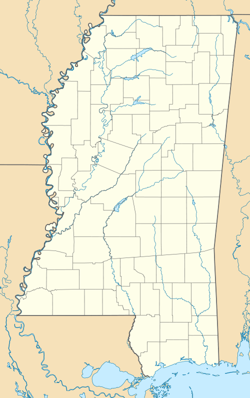
Farrell is an unincorporated community and census-designated place in Coahoma County, Mississippi, United States. As of the 2010 census it had a population of 218.[2] Farrell is located approximately 4 miles (6 km) south of Stovall and 4 miles (6 km) north of Sherard on Mississippi Highway 1. It is about 9 miles (14 km) northwest of Clarksdale, the county seat.
Farrell has a post office and a zip code of 38630.
Climate
The climate in this area is characterized by hot, humid summers and generally mild to cool winters. According to the Köppen Climate Classification system, Farrell has a humid subtropical climate, abbreviated "Cfa" on climate maps.[3]
References
- ↑ U.S. Geological Survey Geographic Names Information System: Farrell, Mississippi
- ↑ "Geographic Identifiers: 2010 Demographic Profile Data (G001): Farrell CDP, Mississippi". U.S. Census Bureau, American Factfinder. Retrieved October 7, 2014.
- ↑ Climate Summary for Farrell, Mississippi
Municipalities and communities of Coahoma County, Mississippi, United States | ||
|---|---|---|
| City | 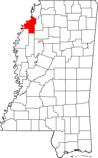 | |
| Towns | ||
| CDP | ||
| Other unincorporated communities | ||
| Ghost towns | ||
| Footnotes | ‡This populated place also has portions in an adjacent county or counties | |
This article is issued from Wikipedia - version of the 10/7/2014. The text is available under the Creative Commons Attribution/Share Alike but additional terms may apply for the media files.