Fort Loudoun (Virginia)
|
Fort Loudoun Site | |
|
Building of the fort site | |
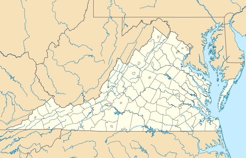 | |
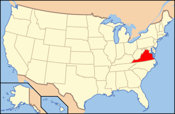
| Location | 419 North Loudoun Street, Winchester, Virginia |
|---|---|
| Coordinates | 39°11′21″N 78°9′50″W / 39.18917°N 78.16389°WCoordinates: 39°11′21″N 78°9′50″W / 39.18917°N 78.16389°W |
| Area | Less than one acre |
| Built | 1756–1757 |
| NRHP Reference # | 13000650 |
| Added to NRHP | June 26, 2014[1] |

Fort Loudoun was a historic fortification of the French and Indian War, located in what is now Winchester, Virginia. The fort was built between 1756 and 1758 under the supervision of George Washington, then a colonel in the militia of the British Province of Virginia. It was named for John Campbell, 4th Earl of Loudoun, who commanded the British forces in North America for a time during the war. Washington and his militia regiment were headquartered at the fort for two years. The fort was a roughly square bastioned earthworks, whose extent spread across where North Loudoun Street runs.[2]
The property at 419 North Loudoun encompasses the historic heart of the fort, including a well dating to the fort's construction, and a portion of its northwest bastion.[2] This area has been listed on the National Register of Historic Places.[1] This property is now owned by the non-profit French and Indian War Foundation.[3]
See also
- Adam Kurtz House, Washington's headquarters while the fort was under construction, now a museum
- National Register of Historic Places listings in Winchester, Virginia
References
- 1 2 National Park Service (2008-04-15). "National Register Information System". National Register of Historic Places. National Park Service.
- 1 2 "PIF Resource Sheet for Fort Loudoun Site Well" (PDF). Virginia DHR. Retrieved 2014-07-08.
- ↑ "Fort Loudoun History". French and Indian War Foundation. Retrieved 2014-07-07.