Freestone Point Confederate Battery
|
Freestone Point Confederate Battery | |
 | |
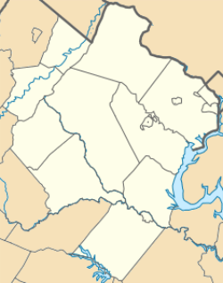 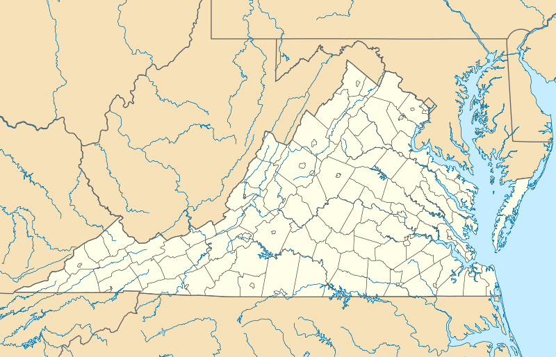  | |
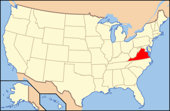
| Location | At the Potomac River off State Route 610 in Leesylvania State Park, Woodbridge, Virginia |
|---|---|
| Coordinates | 38°35′34″N 77°14′57″W / 38.59278°N 77.24917°WCoordinates: 38°35′34″N 77°14′57″W / 38.59278°N 77.24917°W |
| Area | 11 acres (4.5 ha) |
| Built | 1861 |
| MPS | Civil War Properties in Prince William County MPS |
| NRHP Reference # | 89001059[1] |
| VLR # | 076-0264 |
| Significant dates | |
| Added to NRHP | August 18, 1989 |
| Designated VLR | February 21, 1989[2] |
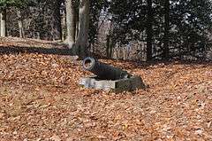
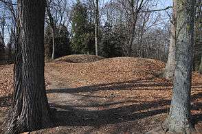
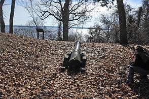
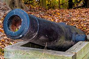
Freestone Point Confederate Battery is a historic American Civil War gun emplacement located at Leesylvania State Park, Woodbridge, Prince William County, Virginia. The battery has four individual gun emplacements, which are fairly simple in configuration. All are formed by a large, deep, rectangular depression with high earthen berms built up on the north and south side of each depression. Three of the batteries are located on the cliff about 90 feet above the Potomac River. For five months, from October 1861 to March 1862, the batteries contributed to the Confederate military's success in blockading the Potomac River.[3]
It was listed on the National Register of Historic Places in 1989.[1]
References
- 1 2 National Park Service (2010-07-09). "National Register Information System". National Register of Historic Places. National Park Service.
- ↑ "Virginia Landmarks Register". Virginia Department of Historic Resources. Retrieved 5 June 2013.
- ↑ Jan Townsend (May 1989). "National Register of Historic Places Inventory/Nomination: Freestone Point Confederate Battery" (PDF). Virginia Department of Historic Resources. and Accompanying photo

This article is issued from Wikipedia - version of the 11/30/2016. The text is available under the Creative Commons Attribution/Share Alike but additional terms may apply for the media files.