Gata, Extremadura
| Gata | |
|---|---|
| municipality | |
 Gata | |
| Coordinates: 40°14′N 6°36′W / 40.233°N 6.600°W | |
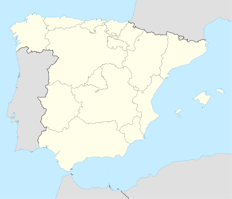
| Country | Spain |
| Autonomous community | Extremadura |
| Province | Cáceres |
| Comarca | Sierra de Gata |
| Area | |
| • Total | 94.18 km2 (36.36 sq mi) |
| Elevation | 637 m (2,090 ft) |
| Population (2009) | |
| • Total | 1,662 |
| • Density | 17.6/km2 (46/sq mi) |
| Time zone | CET (UTC+1) |
| • Summer (DST) | CEST (UTC+2) |
Gata is a municipality located in the province of Cáceres, Extremadura, Spain. The Postal Code is 10860.
Villages
- Gata
- Moheda de Gata (La Mueda)
See also
External links
| Wikimedia Commons has media related to Gata (Cáceres). |
Coordinates: 40°14′N 6°36′W / 40.233°N 6.600°W
This article is issued from Wikipedia - version of the 1/25/2016. The text is available under the Creative Commons Attribution/Share Alike but additional terms may apply for the media files.