Gmina Ostrówek, Lublin Voivodeship
For other places with the same name, see Gmina Ostrówek (disambiguation).
| Gmina Ostrówek Ostrówek Commune | |
|---|---|
| Gmina | |
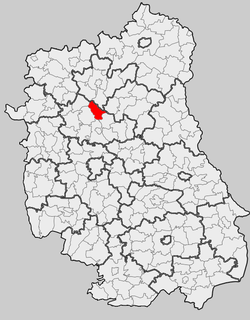 Location within the county and voivodeship | |
| Coordinates (Ostrówek): 51°34′47″N 22°36′41″E / 51.57972°N 22.61139°ECoordinates: 51°34′47″N 22°36′41″E / 51.57972°N 22.61139°E | |
| Country |
|
| Voivodeship | Lublin |
| County | Lubartów |
| Seat | Ostrówek |
| Area | |
| • Total | 89.99 km2 (34.75 sq mi) |
| Population (2006) | |
| • Total | 4,149 |
| • Density | 46/km2 (120/sq mi) |
| Website | http://www.ostrowek.lubelskie.pl |
Gmina Ostrówek is a rural gmina (administrative district) in Lubartów County, Lublin Voivodeship, in eastern Poland. Its seat is the village of Ostrówek, which lies approximately 13 kilometres (8 mi) north of Lubartów and 37 km (23 mi) north of the regional capital Lublin.
The gmina covers an area of 89.99 square kilometres (34.7 sq mi), and as of 2006 its total population is 4,149.
Villages
Gmina Ostrówek contains the villages and settlements of Antoniówka, Babczyzna, Cegielnia, Dębica, Dębica-Kolonia, Jeleń, Kamienowola, Leszkowice, Luszawa, Ostrówek, Ostrówek-Kolonia, Tarkawica, Zawada, Żurawiniec and Żurawiniec-Kolonia.
Neighbouring gminas
Gmina Ostrówek is bordered by the gminas of Czemierniki, Firlej, Kock, Lubartów, Niedźwiada and Siemień.
References
| Seat |
|  |
|---|---|---|
| Urban-rural gminas | ||
| Rural gminas | ||
| Other features | ||
This article is issued from Wikipedia - version of the 8/20/2013. The text is available under the Creative Commons Attribution/Share Alike but additional terms may apply for the media files.