Gokul
| Gokul | |
|---|---|
| city | |
|
A temple in Gokul | |
 Gokul Location in Uttar Pradesh, India | |
| Coordinates: 27°27′N 77°43′E / 27.45°N 77.72°ECoordinates: 27°27′N 77°43′E / 27.45°N 77.72°E | |
| Country |
|
| State | Uttar Pradesh |
| District | Mathura |
| Elevation | 163 m (535 ft) |
| Population (2001) | |
| • Total | 4,041 |
| Languages | |
| • Official | Hindi |
| Time zone | IST (UTC+5:30) |

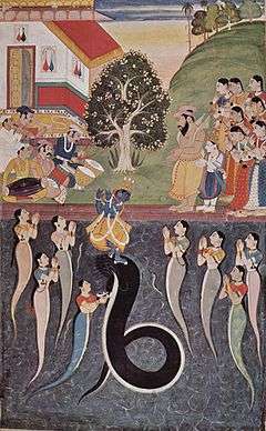
Gokul is a municipality (or nagar panchayat) in the Mathura district of the Indian state of Uttar Pradesh. It is located 15 km south-east of Mathura. Hindus believe that Lord Krishna spent his childhood in Gokula.
In Vedic Scripture
Geography
Gokul is located at 27°27′N 77°43′E / 27.45°N 77.72°E.[1] It has an average elevation of 163 metres (534 feet).
Demographics
As of 2001 India census,[2] Gokul had a population of 4041. Males constitute 55% of the population and females 45%. Gokul has an average literacy rate of 60%, higher than the national average of 59.5%: male literacy is 68%, and female literacy is 49%. In Gokul, 18% of the population is under 8 years of age.

Location
Gokul is located at 27°27′N 77°43′E / 27.45°N 77.72°E.[3] It has an average elevation of 163 metres (534 feet).
References
| Wikimedia Commons has media related to Mathura. |
- ↑ Falling Rain Genomics, Inc - Gokul
- ↑ "Census of India 2001: Data from the 2001 Census, including cities, villages and towns (Provisional)". Census Commission of India. Archived from the original on 2004-06-16. Retrieved 2008-11-01.
- ↑ Falling Rain Genomics, Inc - Gokul