Goose Creek Stone Bridge
|
Goose Creek Stone Bridge | |
|
Goose Creek Stone Bridge, September 2011 | |
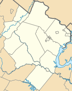 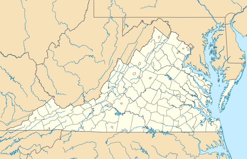  | |
| Nearest city | Atoka, Virginia |
|---|---|
| Coordinates | 38°58′54.10″N 77°49′08.30″W / 38.9816944°N 77.8189722°WCoordinates: 38°58′54.10″N 77°49′08.30″W / 38.9816944°N 77.8189722°W |
| Area | 26 acres (11 ha) |
| Built | 1810 |
| NRHP Reference # | 74002134[1] |
| VLR # | 053-0156 |
| Significant dates | |
| Added to NRHP | October 9, 1974 |
| Designated VLR | May 21, 1974[2] |
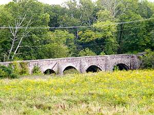
The Goose Creek Stone Bridge crosses Goose Creek in Loudoun County, Virginia. The 200-foot (61 m) long stone arch bridge spans the creek in four arches. Built about 1810, it is the largest stone turnpike bridge in northern Virginia, designed to carry the Ashby's Gap Turnpike across the creek. The turnpike was replaced by U.S. Route 50, which crosses the creek a short distance to the south. The bridge is no longer used for vehicular traffic.[3] The bridge was a center of fighting in the American Civil War on June 21, 1863, during the Battle of Upperville.
The Goose Creek Bridge was placed on the National Register of Historic Places in October 9, 1974.[1]
References
- 1 2 National Park Service (2010-07-09). "National Register Information System". National Register of Historic Places. National Park Service.
- ↑ "Virginia Landmarks Register". Virginia Department of Historic Resources. Retrieved 5 June 2013.
- ↑ Virginia Historic Landmarks Commission Staff (April 1974). "National Register of Historic Places Inventory - Nomination Form: Goose Creek Stone Bridge" (PDF). Retrieved 20 September 2011.

This article is issued from Wikipedia - version of the 11/28/2016. The text is available under the Creative Commons Attribution/Share Alike but additional terms may apply for the media files.