Grand Coulee, Saskatchewan
| Grand Coulee | |
|---|---|
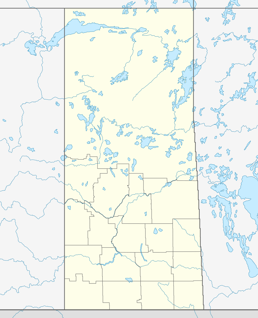  Location of Grand Coulee in Saskatchewan | |
| Coordinates: 50°25′52″N 104°49′23″W / 50.431°N 104.823°W | |
| Country | Canada |
| Province | Saskatchewan |
| Region | Saskatchewan |
| Census division | 6 |
| Rural Municipality | Sherwood |
| Post office Founded |
1903-02-01 (Closed 1970-04-30) |
| Incorporated (Village) | N/A |
| Incorporated (Town) | N/A |
| Government | |
| • Mayor | Walter Botkin |
| • Administrator | Tobi Duck |
| • Governing body | Grand Coulee Village Council |
| Area | |
| • Total | 0.30 km2 (0.12 sq mi) |
| Population (2011) | |
| • Total | 571 |
| • Density | 1,707.5/km2 (4,422/sq mi) |
| Time zone | CST |
| Postal code | S4P 2Z2 |
| Area code(s) | 306 |
| Highways | Highway |
| [1][2][3][4] | |
Grand Coulee is a town in the Canadian province of Saskatchewan. It is located about ten minutes west of Regina. It is small, but everyone knows everyone, and once a year, there is a village event called "The Hoe Down" in which everyone comes out to the Canteen Shack across from the Elementary School and a whole bunch of events take place along with a bonfire, drinks, and music during the night. Grand Coulee has no services but opens a candy shop for a month or so before summer vacation. Grand Coulee also has a United Church open for mass on Sundays and a youth group.
Demographics
| Canada census – Grand Coulee, Saskatchewan community profile | |||
|---|---|---|---|
| 2006 | |||
| Population: | 435 (18.9% from 2001) | ||
| Land area: | 0.30 km2 (0.12 sq mi) | ||
| Population density: | 467.1/km2 (1,210/sq mi) | ||
| Median age: | 31.6 (M: 31.5, F: 32.0) | ||
| Total private dwellings: | 134 | ||
| Median household income: | $Not Available | ||
| References: 2006[5] | |||
Footnotes
- ↑ National Archives, Archivia Net, Post Offices and Postmasters
- ↑ Government of Saskatchewan, MRD Home, Municipal Directory System, archived from the original on November 21, 2008
- ↑ Canadian Textiles Institute. (2005), CTI Determine your provincial constituency
- ↑ Commissioner of Canada Elections, Chief Electoral Officer of Canada (2005), Elections Canada On-line
- ↑ "2006 Community Profiles". Canada 2006 Census. Statistics Canada. March 30, 2011. Retrieved 2009-02-24.
| Subdivisions | |
|---|---|
| Communities | |
| Cities | |
| Topics |
|
| |
Coordinates: 50°25′52″N 104°49′23″W / 50.431°N 104.823°W
This article is issued from Wikipedia - version of the 11/8/2016. The text is available under the Creative Commons Attribution/Share Alike but additional terms may apply for the media files.