Guareña
| Guareña | ||
|---|---|---|
| Municipality | ||
| ||
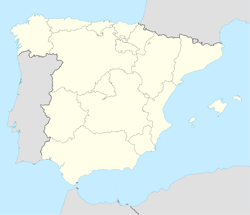 Guareña Location in Spain | ||
| Coordinates: 38°51′36″N 6°6′6″W / 38.86000°N 6.10167°W | ||
| Country |
| |
| Autonomous Community |
| |
| Province | Badajoz | |
| Comarca | Las Vegas Altas | |
| Government | ||
| • Mayor | Rafael Santiago Carballo López (PSOE) | |
| Area | ||
| • Total | 283.3 km2 (109.4 sq mi) | |
| Elevation(AMSL) | 285 m (935 ft) | |
| Population (2012) | ||
| • Total | 7,289 | |
| • Density | 26/km2 (67/sq mi) | |
| Time zone | CET (UTC+1) | |
| • Summer (DST) | CEST (GMT +2) (UTC+2) | |
| Postal code | 06470 | |
| Area code(s) | +34 (Spain) + 924 (Badajoz) | |
| Website | www.guarena.es | |
Guareña is a Spanish municipality in the province of Badajoz, Extremadura. It has a population of 7,326 (2007) and an area of 283.3 km².
People from Guareña
- Luis Chamizo Trigueros (1894 – 1945) was a Spanish writer in Castilian and "Castúo", a dialect in Extremadura.
External links
- Official website (Spanish)
- Profile (Spanish)
Coordinates: 38°51′N 6°05′W / 38.850°N 6.083°W
This article is issued from Wikipedia - version of the 4/17/2016. The text is available under the Creative Commons Attribution/Share Alike but additional terms may apply for the media files.