Høgeloft
| Høgeloft | |
|---|---|
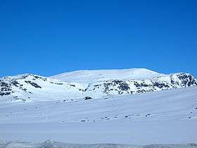 The massif of Jukleeggi, Høgeloft is right behind. | |
| Highest point | |
| Elevation | 1,920 m (6,300 ft) |
| Prominence | 790 m (2,590 ft) [1] |
| Isolation | 37.3 metres (122 ft) |
| Coordinates | 61°3′16.49″N 8°12′45.64″E / 61.0545806°N 8.2126778°ECoordinates: 61°3′16.49″N 8°12′45.64″E / 61.0545806°N 8.2126778°E |
| Geography | |
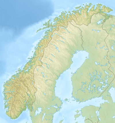 Høgeloft Norway | |
| Location |
Lærdal (Sogn og Fjordane) and Hemsedal (Buskerud), Norway |
| Parent range | Filefjell |
| Topo map | 1517 II Øye |
Høgeloft is a mountain on the border between the municipalities of Lærdal (in Sogn og Fjordane county) and Hemsedal (in Buskerud county), Norway. At 1,920 metres (6,300 ft) above sea level, it is the highest mountain in the Filefjell mountain range. Høgeloft one of the mountains in the Hemsedal Top 20 group.[1]
Høgeloft is located about 22 kilometres (14 mi) east of the village of Borgund in Lærdal, not far from the European route E16 highway and the old Filefjell Kongevegen road. The lake Juklevatnet lies at the southern base of the mountain and the lake Eldrevatnet lies 5 kilometres (3.1 mi) to the southwest of the mountain.
References
- 1 2 "Høgeloft". Retrieved 2010-09-06.
This article is issued from Wikipedia - version of the 8/18/2015. The text is available under the Creative Commons Attribution/Share Alike but additional terms may apply for the media files.