Høgste Breakulen
| Høgste Breakulen | |
|---|---|
 Høgste Breakulen Norway | |
| Highest point | |
| Elevation | 1,957 m (6,421 ft) |
| Prominence | 287 m (942 ft) |
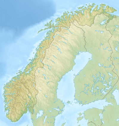
| Coordinates | 61°40′49.62″N 7°1′54.09″E / 61.6804500°N 7.0316917°ECoordinates: 61°40′49.62″N 7°1′54.09″E / 61.6804500°N 7.0316917°E |
| Geography | |
| Location |
Luster and Stryn, Sogn og Fjordane county, Norway |
| Parent range | Breheimen |
| Topo map | 1418 IV Lodalskåpa |
| Climbing | |
| Easiest route | Glacier crossing |
Høgste Breakulen is the highest point on the glacier Jostedalsbreen. It is located inside the Jostedalsbreen National Park on the border of the municipalities of Stryn and Luster in Sogn og Fjordane county, Norway. Lodalskåpa, a nunatak 15 kilometres (9.3 mi) to the northwest, and Brenibba, another nunatak that is 12 kilometres (7.5 mi) to the northwest, are both higher than Høgste Breakulen, but they are not covered by the glacier.[1][2][3]
References
- ↑ Dyer, Anthony; Baddeley, John; Robertson, Ian H. (2006). Walks and Scrambles in Norway. Rockbuy Limited. ISBN 978-1-904466-25-3.
- ↑ Slingsby, Cecil; Howard, Tony (2003). Norway: the Northern Playground. Rockbuy Limited. ISBN 978-1-904466-07-9.
- ↑ Wold, Bjørn; Ryvarden, Leif (1996). Jostedalsbreen. Norway: J W Cappelens Forlag AS. ISBN 978-82-7683-092-7.
External links
This article is issued from Wikipedia - version of the 8/18/2015. The text is available under the Creative Commons Attribution/Share Alike but additional terms may apply for the media files.