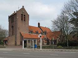
Haalderen
| Haalderen | |
|---|---|
 | |
 Haalderen | |
| Coordinates: 51°53′12″N 5°55′48″E / 51.88667°N 5.93000°ECoordinates: 51°53′12″N 5°55′48″E / 51.88667°N 5.93000°E | |
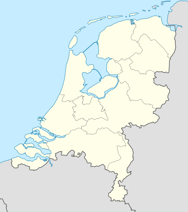
| Country | Netherlands |
| Province | Gelderland |
| Municipality | Lingewaard |
| Area | |
| • Total | 2.55 km2 (0.98 sq mi) |
| Elevation | 9 m (30 ft) |
| Population (2009) | |
| • Total | 1,958 |
| • Density | 770/km2 (2,000/sq mi) |
Haalderen is a small hamlet near Arnhem and Nijmegen in the Netherlands.[1] The population is quite low, and the hamlet belongs to the district of Lingewaard.[2] In Haalderen, there are a significant number of pensioners.
Notable people from Haalderen
- Joop Puntman (1934–2013), Dutch ceramist and sculptor[3]
References
- ↑ "Haalderen Map – Netherlands Google Satellite Maps". Maplandia.com. Retrieved 2015-07-05.
- ↑ "Haalderen (Lingewaard, Gelderland, Netherlands)". Citypopulation.de. Retrieved 2015-07-05.
- ↑ "Joop Puntman Biographical Data". Netherlands Institute for Art History. Retrieved 2015-07-05.
This article is issued from Wikipedia - version of the 1/9/2016. The text is available under the Creative Commons Attribution/Share Alike but additional terms may apply for the media files.