Harohalli
| Harohalli | |
|---|---|
| village | |
|
Harhalli, Mysore | |
| Coordinates: 12°19′13″N 76°46′54″E / 12.320370°N 76.7815800°ECoordinates: 12°19′13″N 76°46′54″E / 12.320370°N 76.7815800°E | |
| Country |
|
| State | Karnataka |
| District | Mysore |
| Talukas | Mysore |
| Government | |
| • Type | Panchayat raj |
| • Body | Gram panchayat |
| Population (2001) | |
| • Total | 7,888 |
| Languages | |
| • Official | Kannada |
| Time zone | IST (UTC+5:30) |
| ISO 3166 code | IN-KA |
| Vehicle registration | KA |
| Website |
karnataka |
Harohalli is a village in the southern state of Karnataka, India.[1][2] It is located in the Mysore taluk of Mysore district in Karnataka.
Demographics
As of 2001 India census, Harohalli had a population of 7888 with 4054 males and 3834 females.[1]
French cemetery
There is a French cemetery in Haohalli, where the French who came to aid Tippu Sultan are buried. The beautiful cemetery is more than 250 years old, has fallen into neglect and vandalism. The French soldiers and family members mostly died from malaria, fatigue or in battle. The land for the French cemetery was granted by Tippu Sultan. Only 35 graves remain, most in a bad state. Iron grilles, bricks, metal plaques and expensive marble have been removed from the graves, and many have no headstone.[3]
See also
Image gallery
-

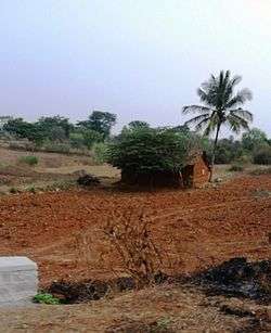
Harohalli village
-

Banana plantations
References
- 1 2 Village code= 2825600 "Census of India : Villages with population 5000 & above". Registrar General & Census Commissioner, India. Retrieved 2008-12-18.
- ↑ "Yahoomaps India :". Retrieved 2008-12-18. Harohalli, Mysore, Karnataka
- ↑ B, Mahadeva (29 October 2013). "Uneasy lie the fallen here" (Bangalore). Dean Herald. Retrieved 2015-01-22.
External links
- "Mysuru District Information". Mysore.nic.in. Retrieved 2016-05-01.