Harrisville, Alberta
| Harrisville | |
|---|---|
| Rural area | |
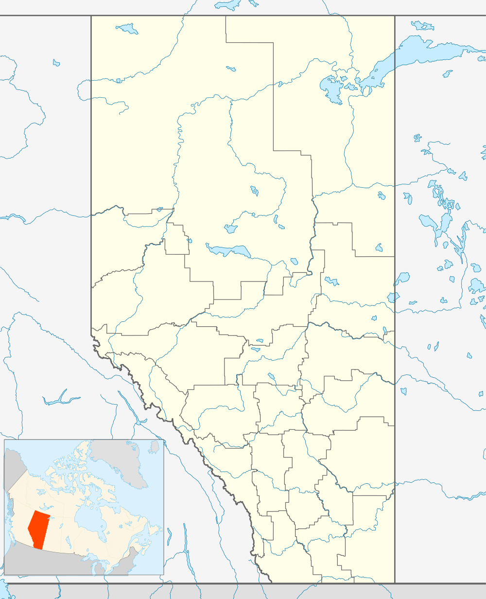 Harrisville Location of Harrisville in Alberta | |
| Coordinates: 49°09′33″N 113°38′29″W / 49.15917°N 113.64139°WCoordinates: 49°09′33″N 113°38′29″W / 49.15917°N 113.64139°W | |
| Country |
|
| Province |
|
| Region | Southern Alberta |
| Census division | 2 |
| Municipal district | Cardston County |
| Founded | 1901 |
| Government | |
| • Governing body | Cardston County Council |
| • MP | Jim Hillyer |
| • MLA | Gary Bikman |
| Time zone | MST (UTC-7) |
| Postal code span | List of T Postal Codes of Canada |
| Area code(s) | +1-403 |
Harrisville was a community in Cardston County, Alberta, Canada, to the southwest of Cardston. It had a school district[1] and a Roman Catholic church – the first in the southern part of Alberta – which blew down in 1906.[1] The school closed in 1948.[2]
St. Stephen's Church
St. Stephen's Church in Harrisville was the first Catholic church in the southernmost part of Alberta. It was built in 1899[1] or 1901[3] and blew down in 1906.[1] It was rebuilt on a different site in 1907.[3] In 1965 the church was closed. On September 18, 1989, it was listed in the Alberta Register of Historic Places.[3]
See also
References
- 1 2 3 4 Mardon, Ernest G. & Austin Mardon. Community Place Names of Alberta, p. 160 (3d ed. 2010)
- ↑ Keith Shaw (ed.) (1978). Chief mountain country: a history of Cardston and district. Cardston, Alberta: Cardston and District Historical Society. p. 63.
- 1 2 3 Alberta Register of Historic Places - Harrisville Church
 |
Mountain View | | ||
| Waterton | |
Aetna | ||
| ||||
| | ||||
| Montana |
This article is issued from Wikipedia - version of the 8/4/2016. The text is available under the Creative Commons Attribution/Share Alike but additional terms may apply for the media files.