Division No. 2, Alberta
| Division No. 2 | |
|---|---|
| Census division in Alberta | |
| Country | Canada |
| Province | Alberta |
| Area[1] | |
| • Total | 17,662 km2 (6,819 sq mi) |
| Population (2011)[1] | |
| • Total | 156,536 |
| • Density | 8.9/km2 (23/sq mi) |
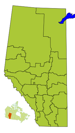
Division No. 2 is a census division in Alberta, Canada. It is located in the south-central portion of southern Alberta and includes the City of Lethbridge.
Census subdivisions
The following census subdivisions (municipalities or municipal equivalents) are located within Alberta's Division No. 2.[2][3]
- Cities
- Towns
- Villages
- Municipal districts
Demographics
In the 2011 Census, Division No. 2 had a population of 156,536 living in 58,495 of its 63,778 total dwellings, a 9.9% change from its 2006 population of 142,429. With a land area of 17,662 km2 (6,819 sq mi), it had a population density of 8.9 people per square kilometre in 2011.[1]
In 2006, Division No. 2 had a population of 142,429 living in 56,851 dwellings, a 6.4% increase from 2001. The census division has a land area of 17,659.92 km2 (6,818.53 sq mi) and a population density of 8.1 inhabitants per square kilometre.[4]
See also
References
- 1 2 3 "Population and dwelling counts, for Canada, provinces and territories, and census divisions, 2011 and 2006 censuses (Alberta)". Statistics Canada. 2012-02-08. Retrieved 2012-02-16.
- ↑ "2006 Community Profiles, Geographic hierarchy – Division No. 2 (Census division)". Statistics Canada. 2010-12-07. Retrieved 2011-08-30.
- ↑ "2011 Municipal Codes" (PDF). Alberta Municipal Affairs. 2011-01-05. Retrieved 2011-08-30.
- ↑ Statistics Canada. "Canada 2006 Census: Division No. 1 - Community Statistics". Retrieved 2007-06-06.
 |
Division No. 5 | Division No. 4 | | |
| Division No. 3 | |
Division No. 1 | ||
| ||||
| | ||||
| United States |
| Subdivisions | |
|---|---|
| Communities | |
| Cities and urban service areas | |
| Census divisions | |
| |
Coordinates: 49°46′N 112°16′W / 49.76°N 112.26°W