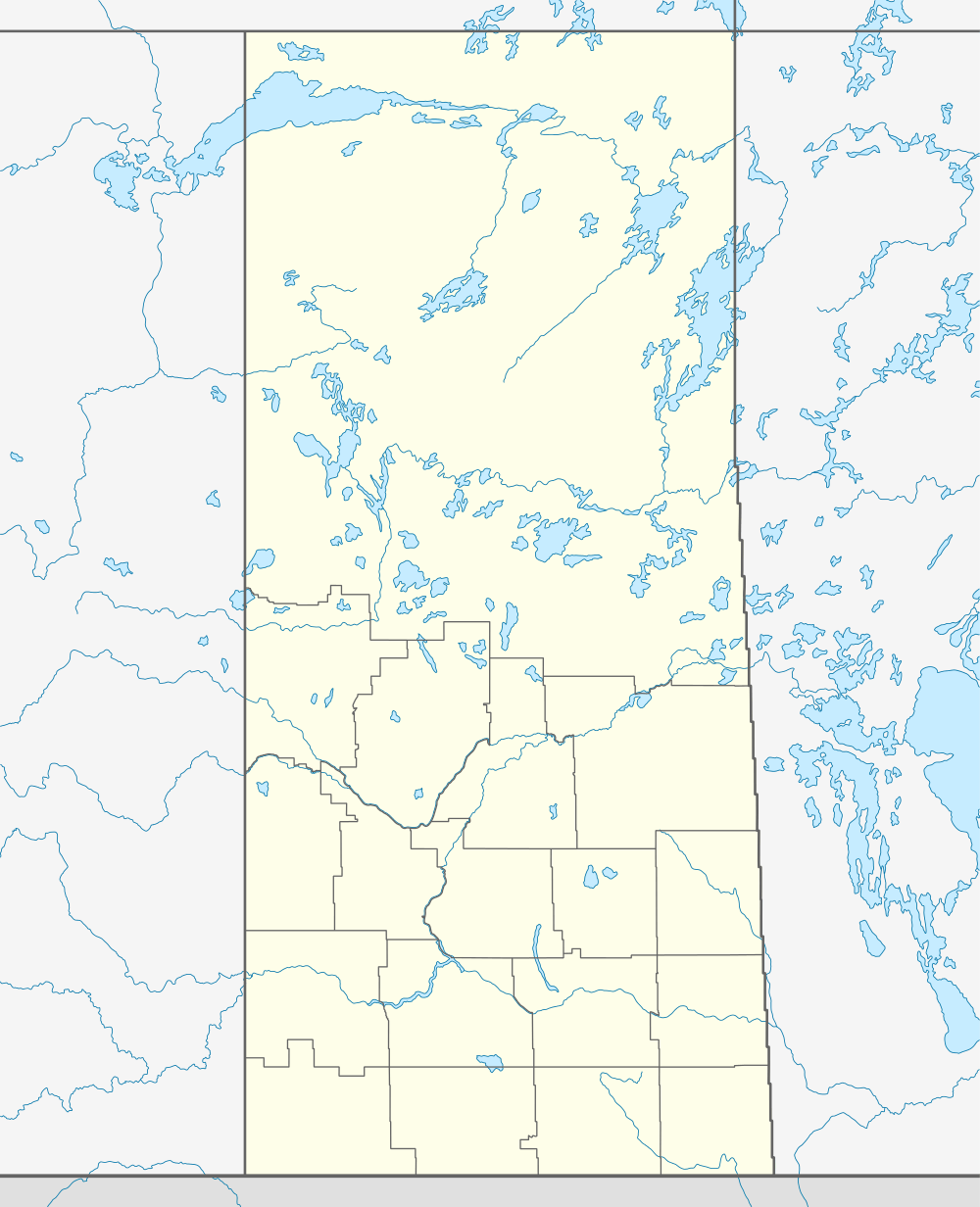
Hatton, Saskatchewan
| Hatton, Saskatchewan | |
|---|---|
| Unincorporated community | |
 Hatton, Saskatchewan  Hatton, Saskatchewan | |
| Coordinates: 50°14′53″N 109°30′14″W / 50.248°N 109.504°W | |
| Country | Canada |
| Province | Saskatchewan |
| Region | Southwest Saskatchewan |
| Census division | 4 |
| Rural Municipality | Maple Creek |
| Established | 1910 |
| Incorporated (Village) | 1913 |
| Incorporated (Town) | 1920 |
| Dissolved | 1930s-40s |
| Government | |
| • Reeve | Greg Link |
| • Administrator | Barbi-Rose Weisgerber |
| • Governing body | Maple Creek No. 111 |
| • MP | David L. Anderson |
| • MLA | Wayne Elhard |
| Population (2006) | |
| • Total | 1 |
| Time zone | CST |
| Postal code | S0N 1N0 |
| Area code(s) | 306 |
| Highways |
Trans Canada Highway Highway 635 |
| Railway | Canadian Pacific |
| [1][2][3][4] | |
Hatton, also known as Forres, is an unincorporated community in Maple Creek Rural Municipality No. 111, Saskatchewan, Canada. The community is located on Highway 635 10 km north of the Trans Canada Highway, and 20 km northwest of Maple Creek. Not much is left of the once prosperous town of 800 citizens, but an old pioneer cemetery and schoolhouse that is now a private residence.
Demographics
Hatton, like so many smaller communities throughout Saskatchewan, has struggled to maintain a sturdy population causing it to become a complete ghost town. Around 1913, Hatton had enough citizens to incorporate into a village. By 1920, the population grew large enough to be incorporated as a town. The Great Depression years and the bypass of the Trans Canada Highway caused a decline in Hatton's population, causing the town's status to return to village status. Soon after the community lost its village status by dissolving into an unincorporated community under the jurisdiction of the Rural municipality of Maple Creek No. 111.[5]
History
History of Hatton - By Johnnie Bachusky
Education
Hatton no longer has a school, but those who live in or around Hatton are sent to the neighboring town of Maple Creek which has a school that covers Kindergarten to Grade 12 serving approximately 400 students.
See also
References
- ↑ National Archives, Archivia Net, Post Offices and Postmasters
- ↑ Government of Saskatchewan, MRD Home, Municipal Directory System, archived from the original on November 21, 2008
- ↑ Canadian Textiles Institute. (2005), CTI Determine your provincial constituency
- ↑ Commissioner of Canada Elections, Chief Electoral Officer of Canada (2005), Elections Canada On-line
- ↑ "Restructured Villages". Saskatchewan Ministry of Municipal Affairs. Archived from the original on March 25, 2008. Retrieved 2008-02-10.
 |
Surprise | Turnstall | Golden Prairie | |
| Cummings | |
Piapot | ||
| ||||
| | ||||
| Walsh, Alberta | Fort Walsh | Maple Creek |
| Subdivisions | |
|---|---|
| Communities | |
| Cities | |
| Topics |
|
| |
Coordinates: 50°14′53″N 109°30′14″W / 50.248°N 109.504°W