Hemphill, Kentucky
| Hemphill, Kentucky | |
|---|---|
| Unincorporated community | |
 Hemphill, Kentucky | |
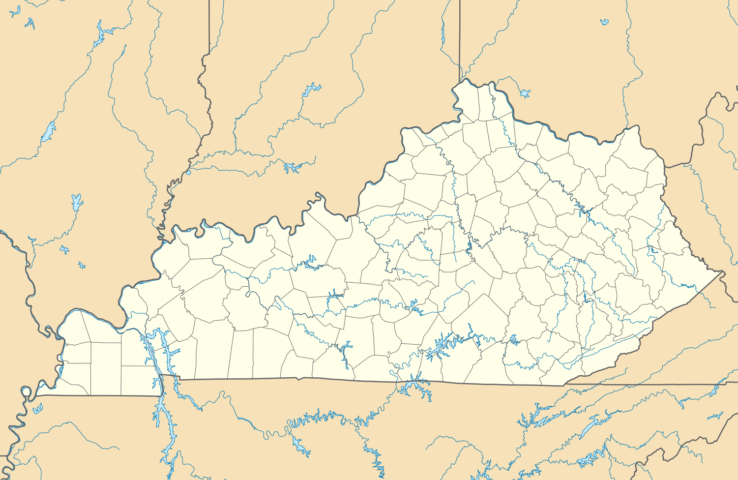
| Coordinates: 37°12′56″N 82°42′19″W / 37.21556°N 82.70528°WCoordinates: 37°12′56″N 82°42′19″W / 37.21556°N 82.70528°W | |
| Country | United States |
| State | Kentucky |
| County | Letcher |
| Elevation | 1,378 ft (420 m) |
| Time zone | Eastern (EST) (UTC-5) |
| • Summer (DST) | EDT (UTC-4) |
| ZIP code | 41825 |
| Area code(s) | 606 |
| GNIS feature ID | 494020[1] |
Hemphill, also known as Jackhorn, is an unincorporated community in Letcher County, Kentucky. The community is located on Kentucky Route 317 1.7 miles (2.7 km) north of Fleming-Neon.[2] The community has a post office with ZIP code 41825, which uses the Jackhorn name.[3][4]
References
- ↑ "Hemphill". Geographic Names Information System. United States Geological Survey.
- ↑ State Primary Road System: Letcher County (PDF) (Map). Kentucky Transportation Cabinet. 2013. Retrieved May 11, 2015.
- ↑ United States Postal Service (2015). "USPS - Look Up a ZIP Code". Retrieved May 11, 2015.
- ↑ "Postmaster Finder - Post Offices by ZIP Code". United States Postal Service. Retrieved May 11, 2015.
Municipalities and communities of Letcher County, Kentucky, United States | ||
|---|---|---|
| Cities |  | |
| CDPs |
| |
| Unincorporated communities | ||
| Ghost towns | ||
This article is issued from Wikipedia - version of the 5/12/2015. The text is available under the Creative Commons Attribution/Share Alike but additional terms may apply for the media files.