Hestmona
 | |
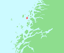 Location in Nordland | |
| Geography | |
|---|---|
| Location | Nordland, Norway |
| Coordinates | 66°31′51″N 12°50′58″E / 66.5308°N 12.8494°ECoordinates: 66°31′51″N 12°50′58″E / 66.5308°N 12.8494°E |
| Area | 13.6 km2 (5.3 sq mi) |
| Highest elevation | 571 m (1,873 ft) |
| Highest point | Hestmonkallen |
| Administration | |
| County | Nordland |
| Municipalities | Rødøy, Lurøy |
Hestmona or Hestmannøy is an island on the border of the municipalities of Rødøy and Lurøy in Nordland county, Norway. The island of Nesøya lies to the west, Lurøya lies to the south, and the mainland at Tonnes lies to the east.
The northern and eastern parts of the 13.6-square-kilometre (5.3 sq mi) island are flat and marshy. The Arctic Circle crosses the northern part of the island. There are ferry connections to the surrounding islands and to the mainland at Jektvika. The 571-metre (1,873 ft) tall mountain Hestmonkallen is located in the southwest.[1]
See also
References
- ↑ Store norske leksikon. "Hestmona" (in Norwegian). Retrieved 2012-02-01.
This article is issued from Wikipedia - version of the 11/17/2016. The text is available under the Creative Commons Attribution/Share Alike but additional terms may apply for the media files.