Housseras
| Housseras | |
|---|---|
 | |
 Housseras | |
|
Location within Grand Est region  Housseras | |
| Coordinates: 48°18′41″N 6°42′48″E / 48.3114°N 6.7133°ECoordinates: 48°18′41″N 6°42′48″E / 48.3114°N 6.7133°E | |
| Country | France |
| Region | Grand Est |
| Department | Vosges |
| Arrondissement | Épinal |
| Canton | Rambervillers |
| Intercommunality | Région de Rambervillers |
| Government | |
| • Mayor (2008–2014) | Stanislas Hung |
| Area1 | 19.61 km2 (7.57 sq mi) |
| Population (2006)2 | 480 |
| • Density | 24/km2 (63/sq mi) |
| Time zone | CET (UTC+1) |
| • Summer (DST) | CEST (UTC+2) |
| INSEE/Postal code | 88243 / 88700 |
| Elevation |
311–530 m (1,020–1,739 ft) (avg. 352 m or 1,155 ft) |
|
1 French Land Register data, which excludes lakes, ponds, glaciers > 1 km² (0.386 sq mi or 247 acres) and river estuaries. 2 Population without double counting: residents of multiple communes (e.g., students and military personnel) only counted once. | |
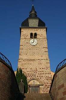
Saint-Pient church
Housseras is a commune in the Vosges department in Grand Est in northeastern France.
Points of interest
- Jardin botanique de Gondremer
- Grave of Wolfgang Döblin (mathematician), and his parents Erna and Alfred Döblin (writer)
See also
References
| Wikimedia Commons has media related to Housseras. |
This article is issued from Wikipedia - version of the 11/6/2016. The text is available under the Creative Commons Attribution/Share Alike but additional terms may apply for the media files.