James River (Alberta)
| James River | |
|---|---|
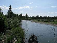 The James River near Sundre, Alberta | |
| Country | Canada |
| Basin | |
| Main source |
James Lake 1,673 m (5,489 ft) 51°43′55″N 115°25′56″W / 51.73194°N 115.43222°W |
| River mouth |
Red Deer River 1,027 m (3,369 ft) 51°54′31″N 114°33′51″W / 51.90861°N 114.56417°WCoordinates: 51°54′31″N 114°33′51″W / 51.90861°N 114.56417°W |
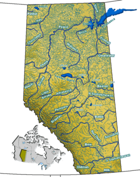
The James River is a medium-sized river in central Alberta. It is a tributary of the Red Deer River.
Species of fish commonly found: Brown trout,Rainbow trout,Mountain whitefish,Northern Pike and a few others. It forms in the Rocky Mountains and flows eastward before joining the Red Deer River. The Forestry Trunk Road follows the river for much of its course. The James River is also bridged by Alberta Highway 22 near the unincorporated community of James River Bridge. The James River, as well as James Pass and James Lake, are named after James Dickson, a Stoney Chief who signed Treaty 7 with the Canadian government in 1877.[1]
Tributaries

- Bridgeland Creek
- Windfall Creek
- Willson Creek
- Sawtooth Creek
- South James River
- Parker Creek
- Teepee Pole Creek
- Stony Creek
- Burnstick Lake
- Pekse Creek
See also
References
- ↑ Aubrey, Merrily. Place Names of Alberta: Volume IV, Northern Alberta. (Calgary: University of Calgary Press, 1996), Page 124.
This article is issued from Wikipedia - version of the 5/29/2016. The text is available under the Creative Commons Attribution/Share Alike but additional terms may apply for the media files.