Gabal Hagar El Zarqa
| Gabal Hagar El Zarqa | |
|---|---|
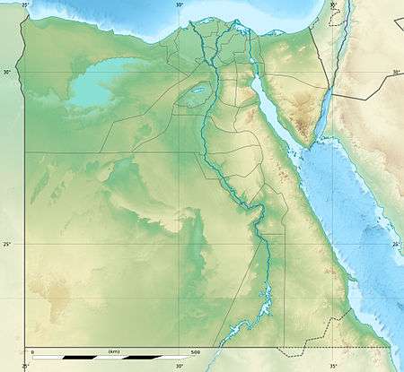 Jebel Hagar ez Zarqa Location in Bir Tawil | |
| Highest point | |
| Elevation | 662 m (2,172 ft) |
| Coordinates | 21°53′00″N 33°58′00″E / 21.88333°N 33.96667°ECoordinates: 21°53′00″N 33°58′00″E / 21.88333°N 33.96667°E |
Gabal Hagar El Zarqa is a mountain in Bir Tawil, an area near the border between Egypt and Sudan. Due to a long-standing disagreement over the location of that border, its jurisdiction is unclear; it is said by the National Geospatial-Intelligence Agency to be in Egypt.[1] It has an elevation of 662 m (2,172 ft).
References
- ↑ "Jebel Hagar ez Zarqa: Egypt". Geographical Names. 8 December 1993. Retrieved 24 December 2013.
This article is issued from Wikipedia - version of the 10/16/2016. The text is available under the Creative Commons Attribution/Share Alike but additional terms may apply for the media files.