Jharsuguda Airport
| Jharsuguda Airport ଝାରସୁଗୁଡା ବିମାନ ବନ୍ଦର | |||||||||||
|---|---|---|---|---|---|---|---|---|---|---|---|
| IATA: None – ICAO: VEJH | |||||||||||
| Summary | |||||||||||
| Airport type | Public | ||||||||||
| Owner | odisha Government | ||||||||||
| Location | Jharsuguda (India) | ||||||||||
| Coordinates | 21°54′48″N 84°03′01″E / 21.91333°N 84.05028°ECoordinates: 21°54′48″N 84°03′01″E / 21.91333°N 84.05028°E | ||||||||||
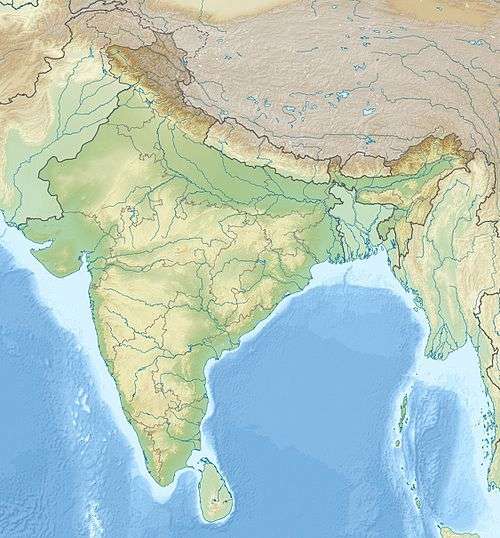
| Map | |||||||||||
 JSA Location of airport in India | |||||||||||
| Runways | |||||||||||
| |||||||||||
Jharsuguda Airport (IATA: VEJH) is located 5 kilometres north-east of Jharsuguda in western Odisha, India.[1] The airfield was used during World War II by the Allied Forces to counter Japanese advances. After the war and Indian Independence, the airfield was abandoned. Air Odisha launched non-scheduled commercial flights between Rourkela, Jharsuguda and Bhubaneswar on 2 November 2012. Air Odisha launched the experimental flight of a nine-seater aircraft of at Rourkela airport in the evening after being flagged off at Bhubaneswar.[2]
Expansion
Jharsuguda airport is spread over 909.22 acres. The State Government sanctioned Rs. 50 crore in July 2013 to kick-start the Rs 175-crore airport development project to be jointly executed by the Airports Authority of India(AAI) and the State Government.[3] The AAI needs an additional 275.75 acres to convert it into a full-fledged airport.[4] A 5,500 square metre new terminal building and air traffic control (ATC) tower will also be built.
On 30 July 2014, Odisha government signed a memorandum of understanding (MoU) with the Airport Authority of India for development of the state's second airport at Jharsuguda.[3]
Jharsuguda Airport, a greenfield project, will be completed by May, 2018.The airport, which will be developed with an investment of `210 crore, will have facility to handle at least 300 passengers per day.The funds will be used on a new modular design passenger terminal, strengthening and extension of the runway (From 1882 metres to 2391 metres), taxiway, new technical block, control tower, fire station, staff quarters and state-of-the-art Communication Navigation Surveillance (CNS) installations.
Airlines and destinations
| Airlines | Destinations |
|---|---|
| Air Odisha | Angul, Bhubaneswar, Jeypore, Rourkela, Sambalpur[5] |
| JAC Air | Jamshedpur |
References
- ↑ http://www.airport-data.com/world-airports/VEJH/
- ↑ "Air Odisha launched commercial flights between Rourkela, Jharsuguda, Bhubaneswar,". Orissa Diary. November 2, 2012. Retrieved 2014-01-03.
- 1 2 "Government sanctions Rs 50 crore for Jharsuguda". The Times of India. 22 July 2013. Retrieved 27 July 2013.
- ↑ "Jharsuguda airport to be developed". The Times of India. 24 April 2013. Retrieved 14 May 2013.
- ↑ "Air Costa, Vistara and Air Odisha to operate soon in Odisha". Retrieved 10 January 2015.
External links
- Airport information for VEJH at World Aero Data. Data current as of October 2006.
- Recent developments on Jharsuguda Airport
- AAI plans 2nd airport in state
- Airport plan