Kurunjang, Victoria
| Kurunjang Melbourne, Victoria | |||||||||||||
|---|---|---|---|---|---|---|---|---|---|---|---|---|---|
 A new estate near Minns Road, Kurunjang | |||||||||||||
 Kurunjang | |||||||||||||
| Coordinates | 37°40′19″S 144°35′06″E / 37.672°S 144.585°ECoordinates: 37°40′19″S 144°35′06″E / 37.672°S 144.585°E | ||||||||||||
| Population | 9,228 (2011 census)[1] | ||||||||||||
| Postcode(s) | 3337 | ||||||||||||
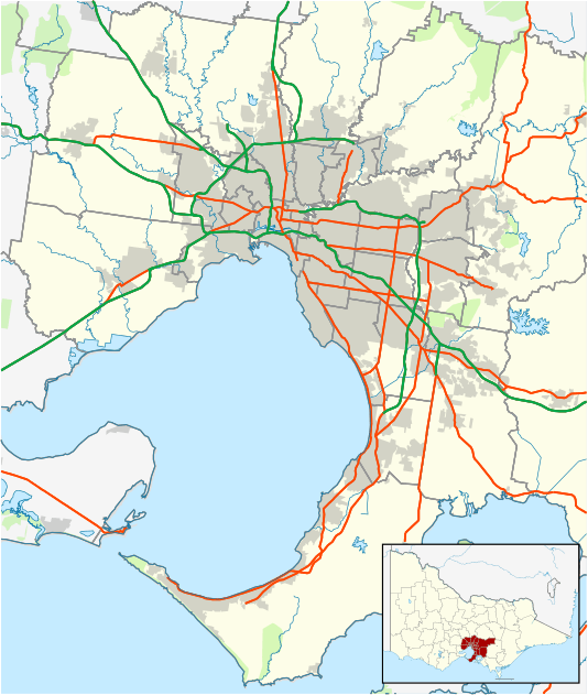
| Location | |||||||||||||
| LGA(s) | City of Melton | ||||||||||||
| State electorate(s) | Melton | ||||||||||||
| Federal Division(s) | Gorton | ||||||||||||
| |||||||||||||
Kurunjang is a suburb of Melbourne, Victoria, Australia, 40 km west of Melbourne's Central Business District. Its local government area is the City of Melton. At the 2011 Census, Kurunjang had a population of 9,228.
It is a primarily residential suburb which contains three schools; Kurunjang Primary School (P-6), Kurunjang Secondary College (7-12) and Mowbray College, a private P-12 school, as well as creekside reserves along Little Blind Creek and Toolern Creek.
References
- ↑ Australian Bureau of Statistics (31 October 2012). "Kurunjang (State Suburb)". 2011 Census QuickStats. Retrieved 30 June 2012.
This article is issued from Wikipedia - version of the 11/3/2014. The text is available under the Creative Commons Attribution/Share Alike but additional terms may apply for the media files.