La Fe (Sandino)
| La Fe | |
|---|---|
| Village | |
.png) OSM map showing La Fe and the surrounding area. The map shows also, in orange, the "Carretera Central" highway | |
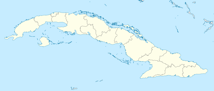 Location of La Fe in Cuba | |
| Coordinates: 22°02′25.44″N 84°16′17.33″W / 22.0404000°N 84.2714806°WCoordinates: 22°02′25.44″N 84°16′17.33″W / 22.0404000°N 84.2714806°W | |
| Country |
|
| Province | Pinar del Río |
| Municipality | Sandino |
| Elevation | 4 m (13 ft) |
| Time zone | EST (UTC-5) |
| Area code(s) | +53-82 |
La Fe (Spanish for "The Faith") is a Cuban village of the municipality of Sandino, in Pinar del Río Province.[1] It is part of the consejo popular ("people's council")[2] of Cayuco.[3]
Geography
Located in a recess of the Guadiana Bay (Bahía de Guadiana), close to the Guanahacabibes Peninsula and its national park, it is one of the westernmost places in Cuba, 100 km far from Cape San Antonio, the island's western extremity. It is 10 km far from the nearby village of Cayuco, 9 from Sandino and 84 from Pinar del Río.[4][5]
Transport
The village counts a little port and a road linking it to the villages in Guanahacabibes peninsula. It is mainly famous to be the western starting point of the Carretera Central, a highway spanning the length of the island of Cuba for 1,435 km, that ends in the city of Baracoa, Guantánamo Province.[6]
References
- ↑ (Spanish) Territorial development of Sandino municipality (EcuRed)
- ↑ A municipal district, also referred as hamlet
- ↑ (Spanish) Cayuco on EcuRed
- ↑ Google (21 December 2013). "La Fé" (Map). Google Maps. Google. Retrieved 21 December 2013.
- ↑ 460423105 La Fe on OpenStreetMap
- ↑ Source: Mapa de Carreteras de Cuba (Road map of Cuba). Ediciones GEO, Havana 2011 - ISBN 959-7049-21-X
External links
![]() Media related to La Fe at Wikimedia Commons
Media related to La Fe at Wikimedia Commons