Laura, Saskatchewan
| Laura, Saskatchewan | |
|---|---|
| Hamlet | |
 Laura, Saskatchewan  Laura, Saskatchewan | |
| Coordinates: 51°30′36″N 107°09′37″W / 51.5100°N 107.1602°W | |
| Country | Canada |
| Province | Saskatchewan |
| Region | West-Central |
| Census division | 8 |
| Rural Municipality | Montrose |
| Established | N/A |
| Incorporated (Village) | N/A |
| Restructured (Hamlet) | December 31, 1954 again in December 28, 1978 |
| Government | |
| • Governing body | Montrose No. 315 |
| Area | |
| • Total | 0.00 km2 (0.00 sq mi) |
| Population (2006) | |
| • Total | n/a |
| • Density | 0.0/km2 (0/sq mi) |
| Time zone | CST |
| Area code(s) | 306 |
| Highways | Highway 7 |
| Railways | Canadian National Railway |
| [1][2][3][4] | |
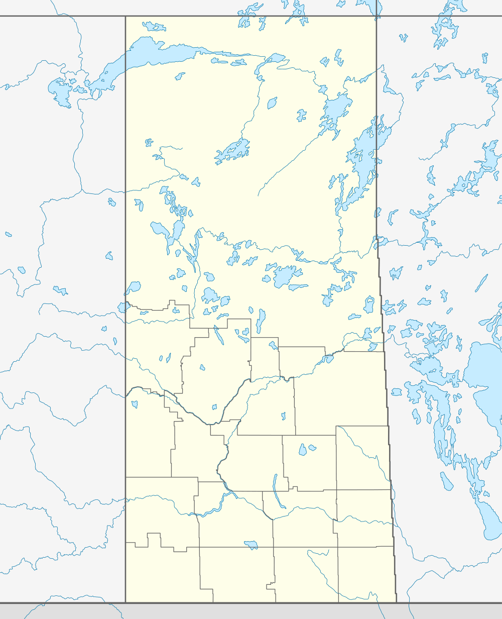
Laura is a hamlet in Montrose Rural Municipality 315, Saskatchewan, Canada. It previously held the status of village until December 31, 1954 and again at an unknown date but was restructured back to hamlet status on December 28, 1978. The hamlet is located southwest of Saskatoon along Highway 7 and Canadian National Railway Saskatoon-Rosetown stub.
For a wonderful description of a youngster growing up in Laura during the period prior to and through the Great Depression, the book entitled "The Fledgling Years - A childhood on the Prairies" by William C. Macklon (publisher Western Producer Prairie Books, Saskatoon, Saskatchewan, copyright 1990) is a delightful read. Prior to the Great Depression, Laura was a bustling active pioneer farming community.
Demographics
Prior to December 31, 1954, Laura was incorporated as a village, and was restructured as a hamlet under the jurisdiction of the Rural municipality of Mountrose on that date. The hamlet was incorporated under village status at an unknown date. That status was again taken over by the jurisdiction of the Rural Municipality of Mountrose on December 28, 1978.[5]
| Canada census – Laura, Saskatchewan community profile | |||
|---|---|---|---|
| Population: | |||
| Land area: | |||
| Population density: | |||
| Median age: | |||
| Total private dwellings: | |||
| Median household income: | |||
| References: | |||
Notable People
- Hazel Annie Page
- William C. Macklon
See also
References
- ↑ National Archives, Archivia Net. "Post Offices and Postmasters".
- ↑ Government of Saskatchewan, MRD Home. "Municipal Directory System". Archived from the original on November 21, 2008.
- ↑ Canadian Textiles Institute. (2005). "CTI Determine your provincial constituency".
- ↑ Commissioner of Canada Elections, Chief Electoral Officer of Canada (2005). "Elections Canada On-line".
- ↑ "Restructured Villages". Saskatchewan Ministry of Municipal Affairs. Archived from the original on March 25, 2008. Retrieved 2008-02-10.
External links
 |
Catherwood | Asquith | Vade | |
| Tessier | |
Delisle | ||
| ||||
| | ||||
| Harris | Ardath | Donavon |
| Subdivisions | |
|---|---|
| Communities | |
| Cities | |
| Topics |
|
| |
Coordinates: 51°51′00″N 107°16′02″W / 51.85000°N 107.26722°W