Lilac Park, California
Coordinates: 38°15′11″N 120°20′59″W / 38.25306°N 120.34972°W
| Lilac Park | |
|---|---|
| Unincorporated community | |
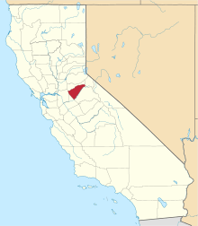
 Lilac Park  Lilac Park Location in California | |
| Coordinates: 38°15′11″N 120°20′59″W / 38.25306°N 120.34972°W | |
| Country | United States |
| State | California |
| County | Calaveras County |
| Elevation[1] | 4,167 ft (1,270 m) |
Lilac Park is an unincorporated community in Arnold, California in Calaveras County, California. Lilac Park Subdivision was approved by the CA Dept of Real Estate in February 1956. Arnold Lilac Park Homeowners Association (ALPHA) was incorporated on February 23, 1959. There are 205 home sites in ALPHA, not all are improved. The east side of Lilac Park sits atop Rocky Ridge (aka Grizzly Ridge) and the west side follows SR 4. The community rests on a west facing slope.
The bottom of Lilac Park lies at an elevation of 4167 feet (1270 m). The top of the ridge has an elevation of 4510 feet.
References
This article is issued from Wikipedia - version of the 7/5/2016. The text is available under the Creative Commons Attribution/Share Alike but additional terms may apply for the media files.