Llançà
| Llançà | |||
|---|---|---|---|
| Municipality | |||
 | |||
| |||
 Llançà 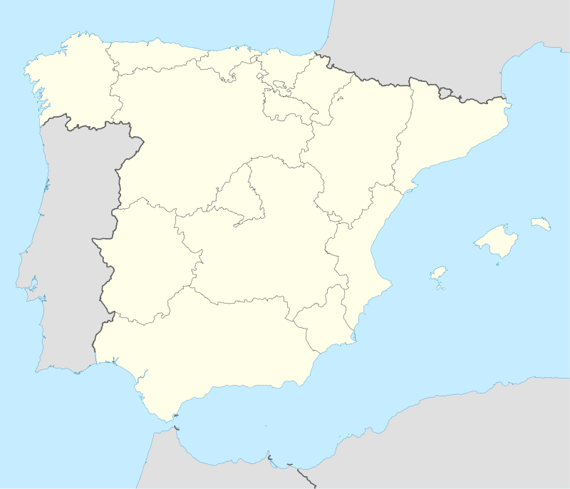 Llançà Location in Catalonia | |||
| Coordinates: 42°22′10″N 3°09′40″E / 42.36944°N 3.16111°ECoordinates: 42°22′10″N 3°09′40″E / 42.36944°N 3.16111°E | |||
| Country |
| ||
| Community |
| ||
| Province | Girona | ||
| Comarca | Alt Empordà | ||
| Government | |||
| • Mayor | Guillem Cusí Batlle (2015)[1] | ||
| Area[2] | |||
| • Total | 28.0 km2 (10.8 sq mi) | ||
| Elevation | 4 m (13 ft) | ||
| Population (2014)[1] | |||
| • Total | 4,970 | ||
| • Density | 180/km2 (460/sq mi) | ||
| Demonym(s) | Llançanenc, llançanenca | ||
| Website |
www | ||

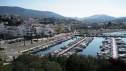
Llançà (Catalan pronunciation: [ʎənˈsa]) is a municipality in the comarca of the Alt Empordà in Catalonia, Spain. It is situated on the coastline of the Costa Brava, between the Cap de Creus and the French frontier and is an important fishing port and tourist centre. The C-252 connects the town with Figueres and continues on to the border at Portbou.
Demography
| 1900 | 1930 | 1950 | 1970 | 1986 | 2007 |
|---|---|---|---|---|---|
| 1829 | 2021 | 1713 | 2682 | 3271 | 4862 |
References
- 1 2 "Ajuntament de Llançà". Generalitat of Catalonia. Retrieved 2015-11-13.
- ↑ "El municipi en xifres: Llançà". Statistical Institute of Catalonia. Retrieved 2015-11-23.
- Panareda Clopés, Josep Maria; Rios Calvet, Jaume; Rabella Vives, Josep Maria (1989). Guia de Catalunya, Barcelona:Caixa de Catalunya. ISBN 84-87135-01-3 (Spanish). ISBN 84-87135-02-1 (Catalan).
External links
- Official website
- Information - Generalitat de Catalunya
- Statistical information - Institut d'Estadística de Catalunya
 |
Rabós | Colera | | |
| Vilamaniscle | |
Mediterranean Sea | ||
| ||||
| | ||||
| Garriguella | Vilajuïga | El Port de la Selva |
This article is issued from Wikipedia - version of the 11/10/2016. The text is available under the Creative Commons Attribution/Share Alike but additional terms may apply for the media files.