Loreburn, Saskatchewan
For other uses, see Loreburn.
| Village of Loreburn | |
|---|---|
|
Grain elevator | |
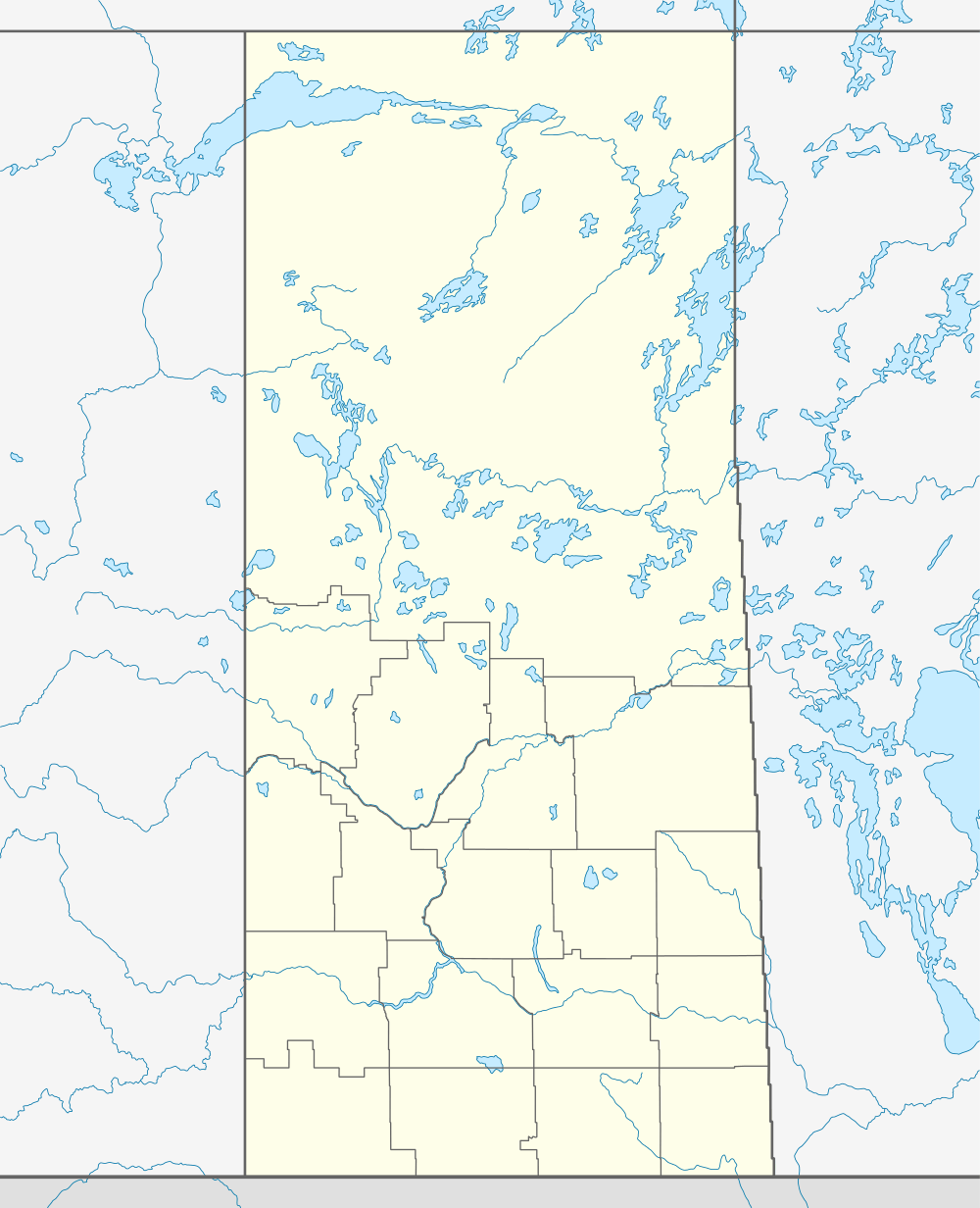  Location of Loreburn in Saskatchewan | |
| Coordinates: 51°09′32″N 106°36′00″W / 51.159°N 106.600°W | |
| Country | Canada |
| Province | Saskatchewan |
| Region | Saskatchewan |
| Census division | 11 |
| Rural Municipality | Loreburn No. 254 |
| Post office Founded | 1908-11-21[1] |
| Incorporated (Village) | 1909 |
| Incorporated (Town) | N/A |
| Government | |
| • Mayor | Steven South |
| • Administrator | Muriel Stronski |
| • Governing body | Loreburn Village Council |
| Area | |
| • Total | 0.62 km2 (0.24 sq mi) |
| Population (2006) | |
| • Total | 113 |
| • Density | 231.4/km2 (599/sq mi) |
| Time zone | CST |
| Postal code | S0H 2S0 |
| Area code(s) | 306 |
| Highways | Highway 19 and Highway 44 |
| [2][3][4][5] | |

Loreburn is a village in the Canadian province of Saskatchewan. It is 16 km north of Elbow and 16 km southeast of Danielson Provincial Park, which is located near Gardiner Dam, Lake Diefenbaker.
Demographics
| Canada census – Loreburn, Saskatchewan community profile | |||
|---|---|---|---|
| 2011 | 2006 | 2001 | |
| Population: | 107 (-5.3% from 2006) | 113 (-21.0% from 2001) | 143 (-4.7% from 1996) |
| Land area: | 0.62 km2 (0.24 sq mi) | 0.62 km2 (0.24 sq mi) | 0.62 km2 (0.24 sq mi) |
| Population density: | 173.1/km2 (448/sq mi) | 182.8/km2 (473/sq mi) | 231.4/km2 (599/sq mi) |
| Median age: | 46.5 (M: 47.5, F: 46.2) | 41.8 (M: 39.8, F: 45.5) | 40.3 (M: 36.8, F: 43.0) |
| Total private dwellings: | 68 | 70 | 71 |
| Median household income: | $NA | $NA | $NA |
| References: 2011[6] 2006[7] 2001[8] | |||
See also
 |
Glenside, Danielson Provincial Park, Gardiner Dam | Strongfield, Saskatoon | Baldworth | |
| Lake Diefenbaker, Coteau Beach | |
Davidson | ||
| ||||
| | ||||
| Birsay | Elbow | Girvin |
External links
Footnotes
- ↑ http://www.bac-lac.gc.ca/eng/discover/postal-heritage-philately/post-offices-postmasters/Pages/item.aspx?IdNumber=15647&=&p_ID=0
- ↑ National Archives, Archivia Net, Post Offices and Postmasters
- ↑ Government of Saskatchewan, MRD Home, Municipal Directory System, archived from the original on November 21, 2008
- ↑ Canadian Textiles Institute. (2005), CTI Determine your provincial constituency
- ↑ Commissioner of Canada Elections, Chief Electoral Officer of Canada (2005), Elections Canada On-line
- ↑ "2011 Community Profiles". Canada 2011 Census. Statistics Canada. July 5, 2013. Retrieved 2012-11-11.
- ↑ "2006 Community Profiles". Canada 2006 Census. Statistics Canada. March 30, 2011. Retrieved 2012-11-11.
- ↑ "2001 Community Profiles". Canada 2001 Census. Statistics Canada. February 17, 2012. Retrieved 2012-11-11.
| Subdivisions | |
|---|---|
| Communities | |
| Cities | |
| Topics |
|
| |
Coordinates: 51°09′32″N 106°36′00″W / 51.159°N 106.600°W
This article is issued from Wikipedia - version of the 9/10/2016. The text is available under the Creative Commons Attribution/Share Alike but additional terms may apply for the media files.