Mankota, Saskatchewan
| Village of Mankota | |
|---|---|
| Village | |
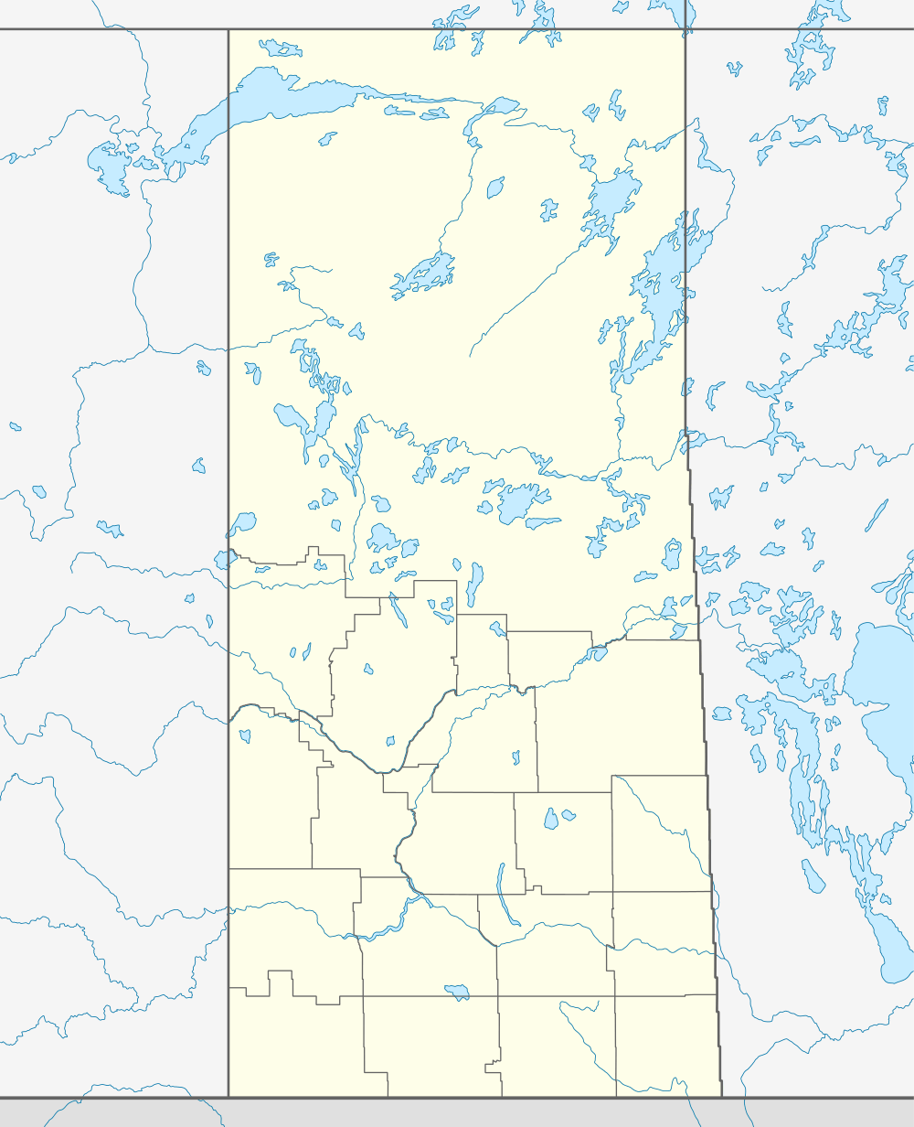  Location of Mankota in Saskatchewan | |
| Coordinates: 49°25′16″N 107°04′12″W / 49.421°N 107.070°WCoordinates: 49°25′16″N 107°04′12″W / 49.421°N 107.070°W | |
| Country | Canada |
| Province | Saskatchewan |
| Region | Saskatchewan |
| Census division | No. 3 |
| Rural Municipality | No. 45 |
| Post office Founded | N/A |
| Village Incorporated | N/A |
| Town Incorporated | N/A |
| Government | |
| • Mayor | Grant Martin |
| • Administrator | April Williamson |
| Area | |
| • Total | 1.55 km2 (0.60 sq mi) |
| Population (2011) | |
| • Total | 211 |
| • Density | 153.3/km2 (397/sq mi) |
| Time zone | CST |
| Postal code | S0H 2W0 |
| Area code(s) | 306 |
| Highways |
Highway 18 Highway 19 |
Mankota is a village in Mankota Rural Municipality No. 45, Saskatchewan, Canada. The population was 238 at the 2006 Census. The village is located on Highway 18, about 150 km southeast of the city of Swift Current. It's also placed near the small villages Kincaid, Ferland, Hazenmore, and Glentworth.
In 2016 Weil Group Resources of Dallas constructing a $10 million helium processing facility near Mankota to supply refined, industrial-grade helium gas to world markets, reviving a mineral resource which was previously established here in Saskatchewan.
Demographics
In 2006 Mankota had a population of 238 living in 178 dwellings, a 4.0% decrease from 1996. The village had a land area of 1.55 km2 (0.60 sq mi) and a population density of 153.3/km2 (397/sq mi).[1]
Education
Mankota has one school that covers Kindergarten through grade 12 in the Prairie South School Division. Enrollment for the 2008-2009 year is at about 78. The population of the school in 2011 is 61.
Attractions
- Grasslands National Park, one of Canada's newer national parks and is located in southern Saskatchewan along the Montana border.
- Cypress Hills Interprovincial Park, straddling the Alberta-Saskatchewan border southeast of Medicine Hat, is Canada's only interprovincial park.
- Mankota Stockyards, has cow sales every Friday all year long.
- Birthplace of photographer Neil O Webster.
- The Mankota Rodeo is held in May every year.
Climate
| Climate data for Mankota | |||||||||||||
|---|---|---|---|---|---|---|---|---|---|---|---|---|---|
| Month | Jan | Feb | Mar | Apr | May | Jun | Jul | Aug | Sep | Oct | Nov | Dec | Year |
| Record high °C (°F) | 12.8 (55) |
18 (64) |
23 (73) |
30.5 (86.9) |
37 (99) |
41 (106) |
38 (100) |
39.5 (103.1) |
36 (97) |
33 (91) |
21.7 (71.1) |
12.8 (55) |
41 (106) |
| Average high °C (°F) | −7.3 (18.9) |
−3.7 (25.3) |
3.1 (37.6) |
12 (54) |
18.6 (65.5) |
22.9 (73.2) |
26.8 (80.2) |
26.7 (80.1) |
19.9 (67.8) |
12.8 (55) |
1.3 (34.3) |
−5.3 (22.5) |
10.6 (51.1) |
| Daily mean °C (°F) | −13.6 (7.5) |
−9.8 (14.4) |
−3.1 (26.4) |
4.7 (40.5) |
11 (52) |
15.4 (59.7) |
18.5 (65.3) |
17.9 (64.2) |
11.5 (52.7) |
4.9 (40.8) |
−5.1 (22.8) |
−11.6 (11.1) |
3.4 (38.1) |
| Average low °C (°F) | −19.8 (−3.6) |
−15.9 (3.4) |
−9.4 (15.1) |
−2.6 (27.3) |
3.3 (37.9) |
7.8 (46) |
10.1 (50.2) |
9.1 (48.4) |
3.1 (37.6) |
−3 (27) |
−11.3 (11.7) |
−17.7 (0.1) |
−3.9 (25) |
| Record low °C (°F) | −43.3 (−45.9) |
−40 (−40) |
−33 (−27) |
−28.3 (−18.9) |
−15 (5) |
−5 (23) |
0.6 (33.1) |
−2.2 (28) |
−14 (7) |
−28 (−18) |
−38.5 (−37.3) |
−42.8 (−45) |
−43.3 (−45.9) |
| Average precipitation mm (inches) | 17.6 (0.693) |
14.5 (0.571) |
17.5 (0.689) |
20.8 (0.819) |
56.9 (2.24) |
58.2 (2.291) |
53 (2.09) |
29 (1.14) |
26.6 (1.047) |
15.2 (0.598) |
16 (0.63) |
15.1 (0.594) |
340.4 (13.402) |
| Source: Environment Canada[2] | |||||||||||||
References
- ↑ Statistics Canada. "Canada 2006 Census: Mankota - Community Profile". Retrieved 2009-01-15.
- ↑ Environment Canada Canadian Climate Normals 1971–2000, accessed 10 September 2010
External links
 |
Hazenmore | Kincaid | Meyronne | |
| Billimun | |
Ferland | ||
| ||||
| | ||||
| Val Marie | Grasslands National Park Canada–US border |
Milly |
| Subdivisions | |
|---|---|
| Communities | |
| Cities | |
| Topics |
|
| |