Marquis, Saskatchewan
For other uses, see Marquis (disambiguation).
| Marquis | |
|---|---|
| Village | |
 Marquis  Marquis | |
| Coordinates: 50°37′05″N 105°43′08″W / 50.618°N 105.719°W | |
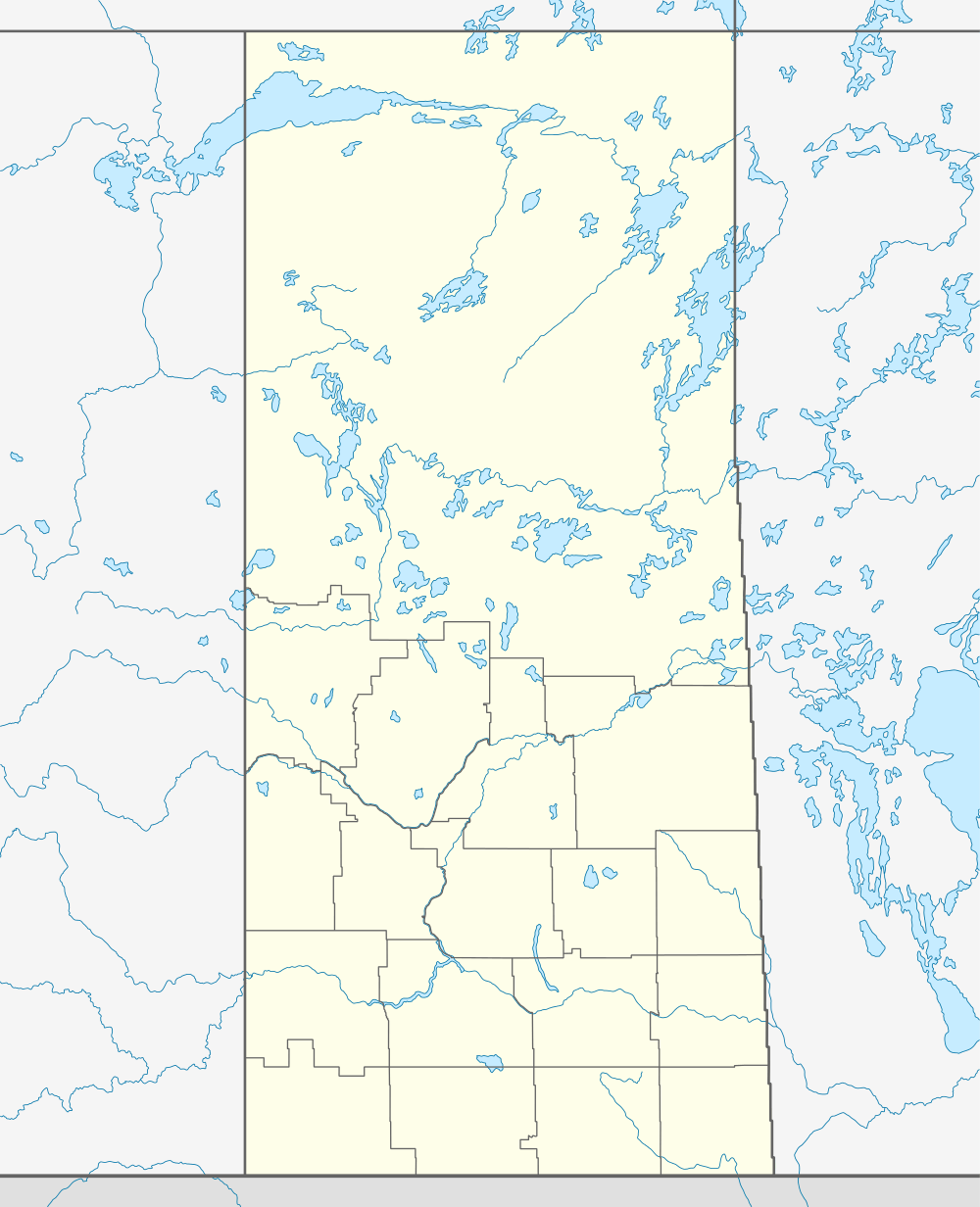
| Country | Canada |
| Province | Saskatchewan |
| Region | Saskatchewan |
| Census division | 7 |
| Rural Municipality | Marquis |
| Incorporated (Village) | 1910 |
| Government | |
| • Mayor | Nicolas J. Kettel |
| • Administrator | Ronald J.Gasper |
| • Governing body | Marquis Village Council |
| Area | |
| • Total | 0.63 km2 (0.24 sq mi) |
| Population (2011) | |
| • Total | 92 |
| • Density | 145.1/km2 (376/sq mi) |
| Time zone | CST |
| Postal code | S0H 2X0 |
| Area code(s) | 306 |
| Highways | Highway 42 |
| [1][2][3][4] | |
Marquis, Saskatchewan is a village located on the highway 42 about 32 km northwest of Moose Jaw. It was incorporated in 1910[5] and in 2001 had 94 residents.[6]
Economy
Businesses and services in the village include a general store/liquor store franchise, a post office, a municipal office, a sand blasting and painting facility, and a service station. The primary economic base is agriculture.
Marquis is located on the Canadian Pacific Railway line. In common with many Saskatchewan communities, Marquis's grain elevators were torn down during the 1990s.
Demographics
| Canada census – Marquis, Saskatchewan community profile | |||
|---|---|---|---|
| 2001 | |||
| Population: | 94 (-4.1% from 1996) | ||
| Land area: | 0.63 km2 (0.24 sq mi) | ||
| Population density: | 148.3/km2 (384/sq mi) | ||
| Median age: | 39.5 (M: 40.8, F: 35.0) | ||
| Total private dwellings: | 38 | ||
| Median household income: | $NA | ||
| References: 2001[7] | |||
See also
References
- ↑ "2011 Community Profiles". Statistics Canada. Government of Canada. Retrieved 2014-04-09.
- ↑ National Archives, Archivia Net. "Post Offices and Postmasters". Retrieved 2014-07-15.
- ↑ Government of Saskatchewan, MRD Home. "Municipal Directory System". Retrieved 2014-07-15.
- ↑ Commissioner of Canada Elections, Chief Electoral Officer of Canada (2005). "Elections Canada On-line". Retrieved 2014-07-15.
- ↑ SaskBiz (Government of Saskatchewan), retrieved 2007-09-03
- ↑ Statistics Canada 2001 report detail, retrieved 2007-09-03
- ↑ "2001 Community Profiles". Canada 2001 Census. Statistics Canada. February 17, 2012.
External links
- Marquis Village Council
- Saskatchewan City & Town Maps
- Saskatchewan Gen Web - One Room School Project
- Post Offices and Postmasters - ArchiviaNet - Library and Archives Canada
- Saskatchewan Gen Web Region
- Online Historical Map Digitization Project
- GeoNames Query
- 2001 Community Profiles
 |
Keeler | Aylesbury | Chamberlain | |
| Lake Valley | |
Sun Valley | ||
| ||||
| | ||||
| Mortlach | Caronport | Tuxford, Moose Jaw |
| Subdivisions | |
|---|---|
| Communities | |
| Cities | |
| Topics |
|
| |
Coordinates: 50°37′05″N 105°43′08″W / 50.618°N 105.719°W
This article is issued from Wikipedia - version of the 8/7/2016. The text is available under the Creative Commons Attribution/Share Alike but additional terms may apply for the media files.