Monroeville, California
For the community in Mendocino County formerly with this name, see Hales Grove, California.
Coordinates: 39°40′40″N 121°58′39″W / 39.67778°N 121.97750°W
| Monroeville | |
|---|---|
| Former settlement | |
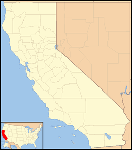 Monroeville  Monroeville Location in California | |
| Coordinates: 39°40′40″N 121°58′39″W / 39.67778°N 121.97750°W | |
| Country | United States |
| State | California |
| County | Glenn County |
| Elevation[1] | 128 ft (39 m) |
Monroeville (also, Munroeville),[2] named for its founder U. P. Monroe, was the county seat of Colusa County from 1851 to 1853.[2] It was located 15 miles (24 km) north of Butte City,[2] near the mouth of Stony Creek in northeastern Glenn County, at an elevation of 128 feet (39 m).[1] The people of the community of Colusa fought for and eventually won the right to become the County Seat in 1853. A post office operated at Monroeville from 1853 to 1862.[2] The area containing Monroeville was eventually absorbed into Glenn County when that county was formed in 1891.[1]
References
Municipalities and communities of Glenn County, California, United States | ||
|---|---|---|
| Cities | 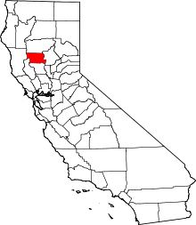 | |
| CDPs | ||
| Unincorporated communities | ||
| Indian reservations | ||
| Ghost towns | ||
This article is issued from Wikipedia - version of the 7/5/2016. The text is available under the Creative Commons Attribution/Share Alike but additional terms may apply for the media files.