Morse, Louisiana
| Morse, Louisiana | |
| Village | |
| Country | United States |
|---|---|
| State | Louisiana |
| Parish | Acadia |
| Elevation | 10 ft (3.0 m) |
| Coordinates | 30°07′18″N 92°29′55″W / 30.12167°N 92.49861°WCoordinates: 30°07′18″N 92°29′55″W / 30.12167°N 92.49861°W |
| Area | 3.6 km2 (1.4 sq mi) |
| - land | 3.6 km2 (1.4 sq mi) |
| - water | 0.0 km2 (0 sq mi), 0% |
| Population | 812 (2010) |
| Density | 223.8/sq mi (86.4/km2) |
| Incorporated | 1906 |
| Mayor | Darlene Thibodeaux (D) |
| Timezone | CST (UTC-6) |
| - summer (DST) | CDT (UTC-5) |
| Area code | 337 |
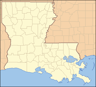 Location of Morse in Louisiana | |
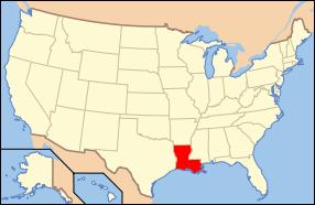 Location of Louisiana in the United States | |
Morse is a village in Acadia Parish, Louisiana, United States. The population was 812 at the 2010 census.[1] It is part of the Crowley Micropolitan Statistical Area.
Incorporated as a village in 1906, it was settled by farmers from Illinois and Iowa. When the Southern Pacific Railroad completed the line here, they named it Morse Station after a railroad official.[2]
Geography
Morse is located at 30°7′18″N 92°29′55″W / 30.12167°N 92.49861°W (30.121628, -92.498500).[3]
According to the United States Census Bureau, the village has a total area of 1.4 square miles (3.6 km2), all land.
Demographics
| Historical population | |||
|---|---|---|---|
| Census | Pop. | %± | |
| 1910 | 237 | — | |
| 1920 | 482 | 103.4% | |
| 1930 | 549 | 13.9% | |
| 1940 | 742 | 35.2% | |
| 1950 | 679 | −8.5% | |
| 1960 | 682 | 0.4% | |
| 1970 | 759 | 11.3% | |
| 1980 | 835 | 10.0% | |
| 1990 | 782 | −6.3% | |
| 2000 | 759 | −2.9% | |
| 2010 | 812 | 7.0% | |
| Est. 2015 | 804 | [4] | −1.0% |
As of the census[6] of 2000, there were 759 people, 279 households, and 201 families residing in the village. The population density was 541.9 inhabitants per square mile (209.3/km²). There were 313 housing units at an average density of 223.5 per square mile (86.3/km²). The racial makeup of the village was 98.29% White, 1.05% African American, 0.26% from other races, and 0.40% from two or more races. Hispanic or Latino of any race were 0.40% of the population.
There were 279 households out of which 40.5% had children under the age of 18 living with them, 51.6% were married couples living together, 12.5% had a female householder with no husband present, and 27.6% were non-families. 23.7% of all households were made up of individuals and 9.7% had someone living alone who was 65 years of age or older. The average household size was 2.72 and the average family size was 3.18.
In the village the population was spread out with 31.8% under the age of 18, 9.2% from 18 to 24, 29.1% from 25 to 44, 20.2% from 45 to 64, and 9.7% who were 65 years of age or older. The median age was 32 years. For every 100 females there were 101.9 males. For every 100 females age 18 and over, there were 106.4 males.
The median income for a household in the village was $24,922, and the median income for a family was $28,750. Males had a median income of $27,083 versus $16,875 for females. The per capita income for the village was $12,346. About 20.8% of families and 22.9% of the population were below the poverty line, including 23.6% of those under age 18 and 18.6% of those age 65 or over.
Notable person
- Eugene Wilton Frémaux, resident who became notable Alexandria, Louisiana civic leader, businessman, and entrepreneur
References
- ↑ "Geographic Identifiers: 2010 Demographic Profile Data (G001): Morse village, Louisiana". U.S. Census Bureau, American Factfinder. Retrieved May 14, 2013.
- ↑ acadia.lib.la.us
- ↑ "US Gazetteer files: 2010, 2000, and 1990". United States Census Bureau. 2011-02-12. Retrieved 2011-04-23.
- ↑ "Annual Estimates of the Resident Population for Incorporated Places: April 1, 2010 to July 1, 2015". Retrieved July 2, 2016.
- ↑ "Census of Population and Housing". Census.gov. Retrieved June 4, 2015.
- ↑ "American FactFinder". United States Census Bureau. Retrieved 2008-01-31.
Municipalities and communities of Acadia Parish, Louisiana, United States | ||
|---|---|---|
| Cities | 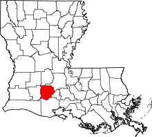 | |
| Towns | ||
| Villages | ||
| CDPs | ||
| Other unincorporated communities |
| |
| Footnotes | ‡This populated place also has portions in an adjacent parish or parishes | |