Mount Independence (Idaho)
| Mount Independence | |
|---|---|
 Mount Independence Cassia County, Idaho, U.S. | |
| Highest point | |
| Elevation | 9,950 ft (3,030 m) [1] |
| Prominence | 350 ft (110 m) [1] |
| Parent peak | Cache Peak |
| Coordinates | 42°11′51″N 113°40′30″W / 42.1974127°N 113.6750101°WCoordinates: 42°11′51″N 113°40′30″W / 42.1974127°N 113.6750101°W [2] |
| Geography | |
| Location | Cassia County, Idaho, U.S. |
| Parent range | Albion Mountains |
| Topo map | USGS Cache Peak |
| Climbing | |
| Easiest route | Simple scramble, class 2 |
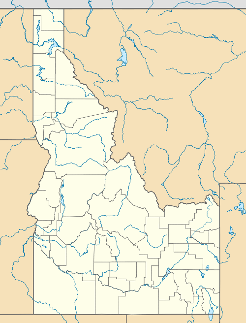
Mount Independence, at 9,950 feet (3,030 m) above sea level is the second highest peak in the Albion Mountains of Idaho. The peak is located in Sawtooth National Forest and Cassia County. It is located about 1 mi (1.6 km) northwest of Cache Peak. The Independence Lakes are located in the basin to the east of the peak.[3][4] Mount Independence supports one of the three populations of Cymopterus davisii, a plant that is endemic to the Albion Mountains. The Mount Independence population is considered a single population with Cache Peak.[5]
References
- 1 2 "Mount Independence, Idaho". Peakbagger.com. Retrieved January 1, 2013.
- ↑ "Mount Independence". Geographic Names Information System. United States Geological Survey. Retrieved January 1, 2013.
- ↑ Sawtooth National Forest (Map) (1998 ed.). Sawtooth National Forest, U.S. Forest Service.
- ↑ "Albion Range". SummitPost.org. Retrieved January 1, 2013.
- ↑ Moseley, R. K. (October 1993), The status and distribution of Christ’s Indian paintbrush (Castilleja christii) and Davis’ wavewing (Cymopterus davisii) in the Albion Mountains, Sawtooth National Forest and City of Rocks National Reserve, Idaho Department of Fish and Game, archived from the original (PDF) on July 28, 2015, retrieved July 28, 2015
This article is issued from Wikipedia - version of the 2/25/2016. The text is available under the Creative Commons Attribution/Share Alike but additional terms may apply for the media files.