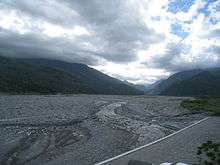
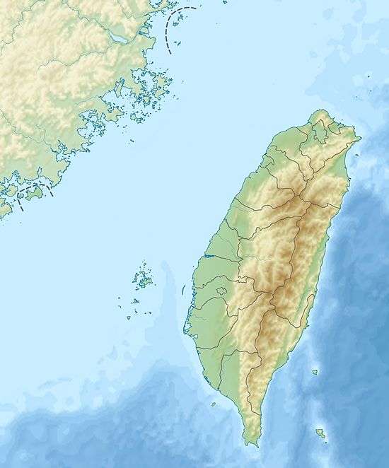
Mugua River
| Mugua River 木瓜溪 | |
|---|---|
 Mugua River | |
 Mugua River in Taiwan | |
| Country | Taiwan |
| Basin | |
| Main source | Central Mountain Range |
| River mouth |
Hualien River 23°54′54″N 121°35′24″E / 23.915°N 121.590°ECoordinates: 23°54′54″N 121°35′24″E / 23.915°N 121.590°E |
| River system | Hualien River basin |
| Basin size | 468.21 km2 (180.78 sq mi) |
| Physical characteristics | |
| Length | 41.78 km (25.96 mi) |
| Discharge |
|
The Mugua River, also spelled Mukua River, (Chinese: 木瓜溪; pinyin: Mùguā Xī; Wade–Giles: Mu4-kua1 Hsi1; Pe̍h-ōe-jī: Bo̍k-koe-khe) is a tributary of the Hualien River in Taiwan.[1][2] It flows through Hualien County for 42 km before joining the Hualien River in Ji'an, Hualien.[3]
See also
References
- ↑ "GeoNames Search". Geographic Names Database. National Geospatial-Intelligence Agency, USA. Retrieved 6 May 2016.
- ↑ "Hualian River" (in Chinese). Water Resources Agency, Ministry of Economic Affairs. Retrieved 1 May 2016.
- ↑ "Hualien River basin". River System Introduction (in Chinese). The Ninth River Management Office, Water Resources Agency, Ministry of Economic Affairs. Retrieved 6 May 2016.
This article is issued from Wikipedia - version of the 6/10/2016. The text is available under the Creative Commons Attribution/Share Alike but additional terms may apply for the media files.