Nainpur
| Nainpur | |
|---|---|
| Town | |
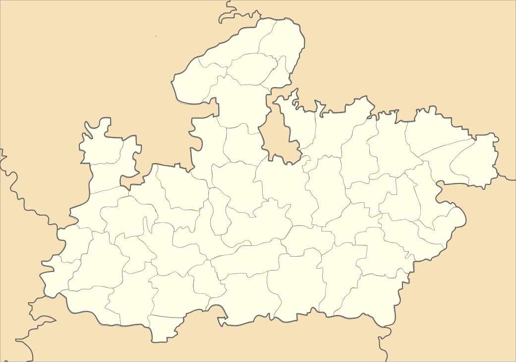 Nainpur Location in Madhya Pradesh, India | |
| Coordinates: 22°26′N 80°07′E / 22.43°N 80.12°ECoordinates: 22°26′N 80°07′E / 22.43°N 80.12°E | |
| Country |
|
| State | Madhya Pradesh |
| District | Mandla |
| Elevation | 447 m (1,467 ft) |
| Population (2011) | |
| • Total | 28,000 |
| Languages | |
| • Official | Hindi |
| Time zone | IST (UTC+5:30) |
| PIN | 481776 |
| Telephone code | 07646 |
| Vehicle registration | DOES NOT HAVE A RTO |
| Sex ratio | 961 ♂/♀ |
Nainpur is a town and a municipality in Mandla district in the Indian state of Madhya Pradesh.
Geography
Nainpur is located at the absolute center of the country. It is surrounded by two rivers Chakor & Thanwar. It also has a lake called Railway Taalab.[1]
Demographics
As of 2001 India census,[2] Nainpur had a population up to 40,000. Males constitute 51% of the population and females 49%. Nainpur has an average literacy rate of 75%, higher than the national average of 59.5%: male literacy is 81%, and female literacy is 68%. In Nainpur, 12% of the population is under 6 years of age. There are a number of schools in Nainpur major ones being GYAN JYOTI HIGHER SECONDARY SCHOOL[English and Hindi Medium],Adarsh School,"SARASWATI HIGHER SECONDARY SCHOOL",CITY CONVENT ENGLISH MEDIUM SCHOOL WARD NO. 05 Mother Teresa English School,Bharat Jyoti(English medium), Railway CBSE School & others.There is a computer Training .There is also a poultry farm ran by [Rida poultry]
Civic administration
Nainpur is a Tehsil. It is administered by Nainpur Nagar Palika. The town is divided into 15 wards. Each ward is represented by a ward member, the ward member is known as PARSHAD.These 15 members form a council (Parishad) and which elects the Nagar Paalika Adhyaksha (head of the municipal council). There are also two nominated members (Parshads) in the Parishad.
Climate
The city has the typical hot and dry temperate of the Great Indian Plateau. Nainpur is hot during summers with temperatures up to 44 degree Celsius but the winters are quite comfortable with temperatures between 15 degrees Celsius. The July to September months bring heavy rains with the onset of the South Western monsoon. The October to March window during the winters is suitable for a visit to the city.wow
Transport
Rail
Nainpur is a railway hub on the Narrow Gauge (2 ft 6 in (762 mm)) line. This is the junction point of Jabalpur 110 km to its north, Balaghat 76 km to its south, Mandla 50 km to its east and Chhindwara 150 km to its west. It is connected to Nagpur via Chhindwara and Gondia. It was Asia's largest Narrow Gauge Railway Junction before the recent Gauge Conversion Project. Presently all the tracks are under Broad Gauge Conversion. At present, Nainpur is connected to Jabalpur, Seoni, Chhindwara, Balaghat and Mandla only by Roadways.The railway yard has Indian Oil depot for refueling the locomotives. A 40 km part to Sukrimangla on the Jabalpur-Nainpur track has been converted to broad gauge.
Road
It is also connected by Mandla to Jabalpur and Seoni to Nagpur by the roads, in between Mandla and Nainpur a small village "Chirai-Dongri" is there from where the route to "Kanha Kislee" a Well Known National Park is diverted. You can find beautiful picnic spots around like 'Maaldhar', 'Siddhaghat', 'Ghoghra', 'Bhima Nala'(fountain),'Shikara'.
Communication providers
Airtel, Idea, Reliance (RIM & SMART), tata DoCoMo, BSNL, Vodafone, and Videocon are the cellular service providers in Nainpur.
References
- ↑ "Nainpur, Madhya Pradesh, India". Google Maps. Retrieved 17 September 2016.
- ↑ "Census of India 2001: Data from the 2001 Census, including cities, villages and towns (Provisional)". Census Commission of India. Archived from the original on 2004-06-16. Retrieved 2008-11-01.