National Register of Historic Places listings in Lafayette County, Wisconsin
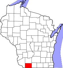
Location of Lafayette County in Wisconsin
This is a list of the National Register of Historic Places listings in Lafayette County, Wisconsin. It is intended to provide a comprehensive listing of entries in the National Register of Historic Places that are located in Lafayette County, Wisconsin. The locations of National Register properties for which the latitude and longitude coordinates are included below may be seen in a map.[1]
There are 11 properties and districts listed on the National Register in the county.
- This National Park Service list is complete through NPS recent listings posted December 2, 2016.[2]
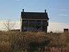
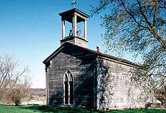
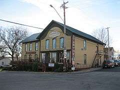
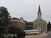
Current listings
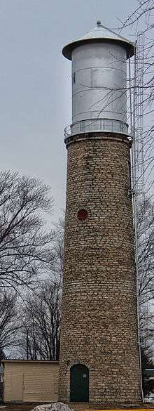
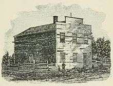
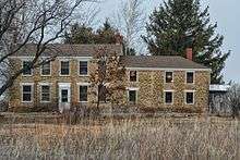
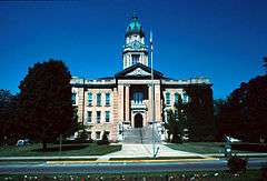
.JPG)
See also
- List of National Historic Landmarks in Wisconsin
- National Register of Historic Places listings in Wisconsin
References
- ↑ The latitude and longitude information provided is primarily from the National Register Information System, and has been found to be fairly accurate for about 99% of listings. For 1%, the location info may be way off. We seek to correct the coordinate information wherever it is found to be erroneous. Please leave a note in the Discussion page for this article if you believe any specific location is incorrect.
- ↑ "National Register of Historic Places: Weekly List Actions". National Park Service, United States Department of the Interior. Retrieved on December 2, 2016.
- ↑ Numbers represent an ordering by significant words. Various colorings, defined here, differentiate National Historic Landmarks and historic districts from other NRHP buildings, structures, sites or objects.
- ↑ National Park Service (2008-04-24). "National Register Information System". National Register of Historic Places. National Park Service.
- ↑ The eight-digit number below each date is the number assigned to each location in the National Register Information System database, which can be viewed by clicking the number.
Municipalities and communities of Lafayette County, Wisconsin, United States | ||
|---|---|---|
| Cities | | |
| Villages | ||
| Towns | ||
| CDP | ||
| Unincorporated communities | ||
| Footnotes | ‡This populated place also has portions in an adjacent county or counties | |
| Topics | |
|---|---|
| Lists by states |
|
| Lists by insular areas | |
| Lists by associated states | |
| Other areas | |
| |
| Wikimedia Commons has media related to National Register of Historic Places in Lafayette County, Wisconsin. |
This article is issued from Wikipedia - version of the 5/15/2016. The text is available under the Creative Commons Attribution/Share Alike but additional terms may apply for the media files.