Norrbotten archipelago
 Norrbotten archipelago | |
| Geography | |
|---|---|
| Coordinates | 65°29′14″N 22°26′07″E / 65.487335°N 22.435241°ECoordinates: 65°29′14″N 22°26′07″E / 65.487335°N 22.435241°E |
| Adjacent bodies of water | Bay of Bothnia |
| Administration | |
| Province | Norrbotten |
The Norrbotten archipelago (Swedish: Norrbotten skärgård) is a group of Swedish islands in the north part of the Bay of Bothnia. A few of the islands have small permanent populations, but most are used only for recreation in the summer months. They are icebound during the winter.
Location
The north of the bay of Bothnia contains a large archipelago area.[1] The islands in the Swedish sector make up the Norrbotten archipelago.[2] It is divided into the archipelagos of Piteå (550 islands), Luleå (1,312 islands), Kalix (792 islands) and Haparanda (652 islands).[3] The largest island is Rånön in the Kalix archipelago.[4] Due to post-glacial rebound the land is rising at from 0.8 to 1 centimetre (0.31 to 0.39 in) annually, so the shoreline can retreat by as much as 100 metres (330 ft) in one person's lifetime. As a result, the islands are growing in size but the waters and harbors are becoming shallower.[5]
Climate
The archipelago is only 100 kilometres (62 mi) south of the Arctic Circle, so there is daylight for 24 hours in the summer, and full moon all day in the winter.[6] The waters around the archipelago are brackish, with less the 10% of the salt content of the Atlantic.[7] The sea freezes in January and remain frozen until March–April.[8]
Gallery
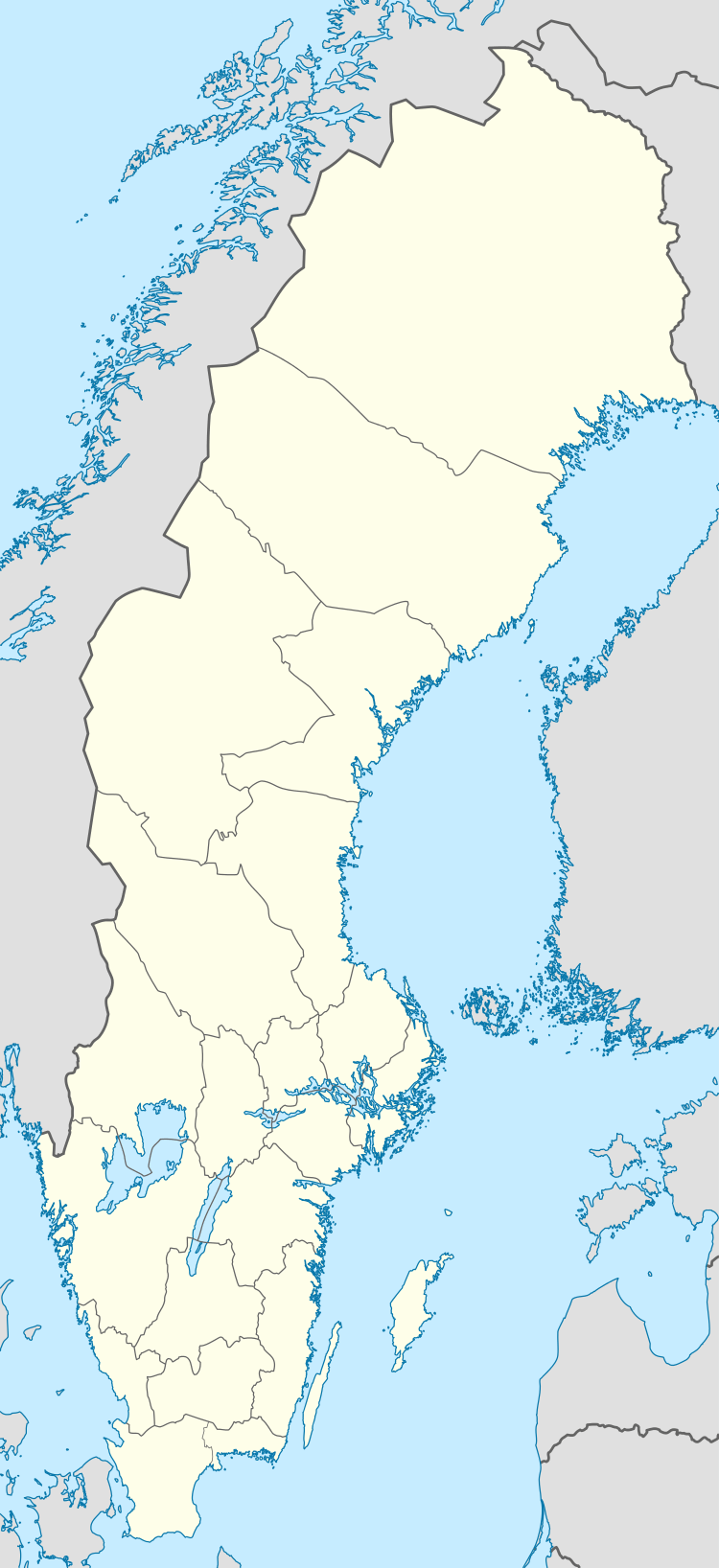
 Old fishing huts at Brändöskär
 Rödkallen in winter
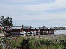
 The bridge to Seskarö
See also
References
Citations
- ↑ Leppäranta & Myrberg 2009, p. 55.
- ↑ Ankre 2005, p. 8.
- ↑ About the Bay ... Bottenvikens skärgård.
- ↑ Index: bottenviken.se.
- ↑ Nilsson & Ankre 2006, p. 149.
- ↑ Nilsson & Ankre 2006, p. 145.
- ↑ Sweden: Rough Guides 2003, p. 403.
- ↑ Nilsson & Ankre 2006, p. 152.
Sources
- "About the Bay of Bothnia". Bottenvikens skärgård. Retrieved 2013-09-30.
- Ankre, Rosemarie (2005). "A Case Study of the Luleå archipelago, Sweden" (PDF). Mid-Sweden University. Retrieved 2013-10-04.
- "Index". bottenviken.se. Retrieved 2013-10-02.
- Leppäranta, Matti; Myrberg, Kai (2009-03-20). Physical Oceanography of the Baltic Sea. Springer. p. 55. ISBN 978-3-540-79703-6. Retrieved 2013-10-01.
- Nilsson, Per-Åke; Ankre, Rosemarie (2006). "The Lulea Archipelago, Sweden". Extreme Tourism: Lessons from the World's Cold Water Islands. Elsevier. ISBN 978-0-08-044656-1. Retrieved 2013-10-08.
- Sweden. Rough Guides. 2003. ISBN 978-1-84353-066-4. Retrieved 2013-10-02.