Pantiya
| Pantiya | |
|---|---|
| city | |
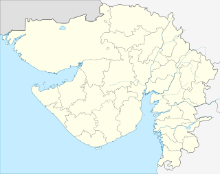 Pantiya  Pantiya Location in Gujarat, India | |
| Coordinates: 23°06′01″N 69°54′44″E / 23.100378°N 69.912143°ECoordinates: 23°06′01″N 69°54′44″E / 23.100378°N 69.912143°E | |
| Country |
|
| State | Gujarat |
| District | Kachchh |
| Panchayat | Gram Panchayat |
| Elevation | 27 m (89 ft) |
| Population (2001) | |
| • Total | 86,388 |
| Languages | |
| • Official | Gujarati, Hindi |
| Time zone | IST (UTC+5:30) |
| PIN | 370110 |
| Telephone code | 02836 |
| Vehicle registration | GJ-12 |
| Sex ratio | 0.894 ♂/♀ |
| Distance from Bhuj | 60 kilometres (37 mi) |
| Distance from Ahmedabad | 350 kilometres (220 mi) |
| Website |
gujaratindia |
Pantiya is a village near the town Anjar, the taluka of Kutch district in the Indian state of Gujarat. This village is adopted by IFFCO Kandla.
Village is located 10 KM from nearest town Anjar. Villagers enjoy very good dinking water supply, and electricity supply with very less power shortages. Village has good amount Telephone penetration, and nearly most of the houses has televisions and Cable supply. Village Entrance greets welcome gate.
See also
- Nagalpar
- Sinugra
- Pantiya
- Khedoi
- Lovariya
- Chandiya
- Chandroda
- Mindiyana
- Shinai
- Adipur
- Gandhidham
- Healthcare in India
- Primary Health Centre
| Preceded by Unknown |
Village Sarpanch 1991 – 2003 |
Succeeded by Incumbent |
| Preceded by Unknown |
Village Talati 2003 – Present |
Succeeded by Incumbent |
| Preceded by Unknown |
Village Aanganvadiben 2003 – Present |
Succeeded by Incumbent |
| Preceded by Unknown |
Village Nurseben 2003 – Present |
Succeeded by Incumbent |
This article is issued from Wikipedia - version of the 10/2/2016. The text is available under the Creative Commons Attribution/Share Alike but additional terms may apply for the media files.