Peyto Peak
| Peyto Peak | |
|---|---|
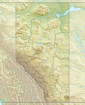 Peyto Peak Location in western Alberta | |
| Highest point | |
| Elevation | 2,980 m (9,780 ft) [1] |
| Prominence | 220 m (720 ft) [2] |
| Coordinates | 51°41′02″N 116°33′56″W / 51.68389°N 116.56556°WCoordinates: 51°41′02″N 116°33′56″W / 51.68389°N 116.56556°W [2] |
| Geography | |
| Location | Alberta, Canada |
| Parent range | Waputik Range |
| Topo map | NTS 082N10 |
| Climbing | |
| First ascent | 1933 by Conrad Kain and party[1] |
Peyto Peak is a mountain in the Waputik Range, part of the Canadian Rockies in Alberta, Canada.
It lies at the north end of the Wapta Icefield, in Banff National Park, about one km (0.6 mi) east of the border with British Columbia and 32 km (20 mi) north of the town of Field. Five kilometres to the northeast lies Bow Pass, one of the high points of the Icefields Parkway. Between the peak and the pass lies picturesque Peyto Lake. Three kilometres southwest of Peyto Peak is Mount Baker, the highest point in the immediate vicinity.
Peyto peak was named in 1896 by W.D. Wilcox for Ebenezer William "Bill" Peyto, an early outfitter, trail guide and trapper in the Banff and Lake Louise areas. The first ascent of the peak was in 1933 by famed mountaineer Conrad Kain and party.[1]
References
- 1 2 3 Peakfinder. "Peyto Peak". Retrieved 2007-08-31.
- 1 2 "Peyto Peak". Bivouac.com. Retrieved 2009-01-02.
- Map of Bow Lake and Saskatchewan Crossing, Gem Trek Publishing, 1995, ISBN 1-895526-10-8
- Chic Scott, Summits and Icefields, Rocky Mountain Books, 1994, ISBN 0-921102-34-8