Picpus (Paris Métro)
Picpus | |||||||||||
|---|---|---|---|---|---|---|---|---|---|---|---|
| Paris Métro station | |||||||||||
 | |||||||||||
| Location |
12th arrondissement of Paris Île-de-France France | ||||||||||
| Coordinates | 48°50′43″N 2°24′02″E / 48.84515°N 2.400494°ECoordinates: 48°50′43″N 2°24′02″E / 48.84515°N 2.400494°E | ||||||||||
| Owned by | RATP | ||||||||||
| Operated by | RATP | ||||||||||
| Other information | |||||||||||
| Fare zone | 1 | ||||||||||
| History | |||||||||||
| Opened | 1 March 1909 | ||||||||||
| Services | |||||||||||
| |||||||||||
| Location | |||||||||||
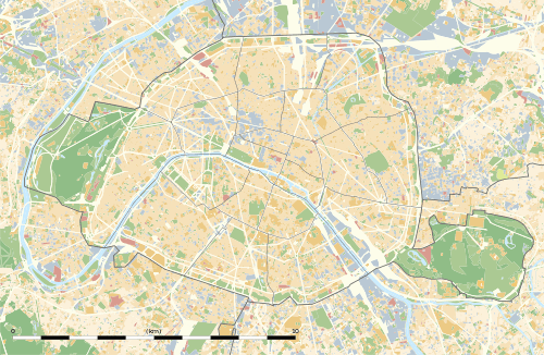 Picpus Location within Paris | |||||||||||
Picpus is a station on line 6 of the Paris Métro in the 12th arrondissement. The station is located under the Avenue de Saint-Mandé, to the west of the crossroads with the Boulevard de Picpus. There is only one entrance/exit, located on the southern side of the Avenue de Saint-Mandé.
History
The station was opened on 1 March 1909 as Saint-Mandé with the extension of the line from Place d'Italie to Nation. It is named after the district of Picpus and the Boulevard de Picpus. It was renamed Picpus on 1 March 1937 to avoid confusion with Saint-Mandé on line 1. The station has the additional name of Courteline, named after author Georges Courteline (1858–1929). It was the location of the Barrière de Saint-Mandé, a gate built for the collection of taxation as part of the Wall of the Farmers-General; the gate was built between 1784 and 1788 and demolished during in the nineteenth century.[1][2][3]
Places of interest
- Square Courteline
- Picpus Cemetery, where, in particular, General La Fayette is buried
- Church of l'Immaculée Conception
Station layout
| Street Level |
| B1 | Mezzanine for platform connection |
| Platform level | ||
| Westbound | ← | |
| Eastbound | | |
References
- ↑ "Barrière de Saint-Mandé, picture" (in French). Bibliothèque nationale de France. Retrieved 21 October 2009.
- ↑ "Barrière de Saint-Mandé, picture" (in French). Bibliothèque nationale de France. Retrieved 21 October 2009.
- ↑ "Barrière de Saint-Mandé" (in French). Bibliothèque nationale de France. Retrieved 21 October 2009.
| Wikimedia Commons has media related to Picpus (Paris Metro). |