Pingüino de Humboldt National Reserve
| Pingüino de Humboldt National Reserve | |
|---|---|
|
IUCN category IV (habitat/species management area) | |
|
Humboldt penguins on Choros island, Pingüino de Humboldt National Reserve, Chile. | |
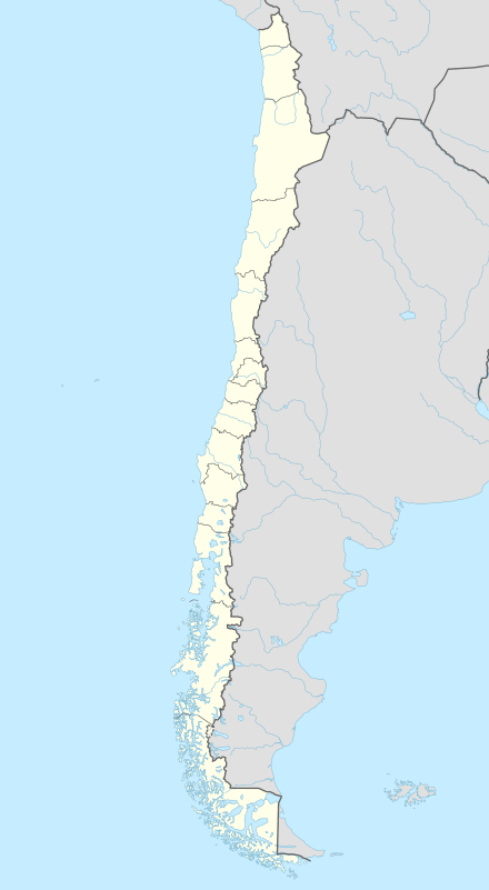 Location within Chile | |
| Location | Coquimbo Region, Chile |
| Coordinates | 29°15′07″S 71°32′20″W / 29.252°S 71.539°WCoordinates: 29°15′07″S 71°32′20″W / 29.252°S 71.539°W[1] |
| Area | 859.3 hectares (2,123 acres) |
| Website | |

Pingüino de Humboldt National Reserve is a nature reserve located a short distance off the coast of mainland Chile. It consists of three islands: Chañaral, Damas and Choros. It is located about 100 km (62 mi) north of La Serena in the Coquimbo Region of Chile and has a total area of 859.3 hectares (2,123 acres). Costal communities of Caleta Chañaral, Chañaral de Aceituno, Punta de Choros are nearby. The reserve is an important breeding site for the Humboldt penguin, for which it is named, and is a habitat for sea lions and bottlenose dolphins chunchungos, Magellanic penguin, sea turtle, whale, albatross and cormorant. Aside from dolphins, local cetacean diversities are diverse including migratory rorquals such as blue, fin,[2][3][4] and humpback whales,[5] and sperm whales.[6]
The park is located in both Region III and Region IV of Chile. The reserve includes the Aceituno de Chañaral Island (third region) and Damas and Choros Islands (fourth region).[7]
It is part of the Sistema Nacional de Áreas Silvestres Protegidas del Estado de Chile (National System of Protected Areas of the State of Chile), administered by the Corporación Nacional Forestal (National Forest Service, Conaf).

Access routes
From La Serena, Chile advance on the road 75 km. to the turnoff leading to the village of Los Choros. From here, walk 45 km. by dirt road, which in its last 5 km. going through a difficult transition dune.[8]
Registration
National Forestry Corporation (CONAF) registration is required at Punta de Choros. The next step is to hire one of the boats going out to the reserve's main attractions, Isla Damas, Isla Choros and Isla Chañaral.[9]
Choros Island
Punta de Choros is an emerging fisherman's town with restaurants, cabins and hotels.
Damas Island
Damas Island measures 60.3 hectares and much of its charm lies in its Caribbean style beaches. However, the water is fairly cold due to the Humboldt current.[10]
Damas Island is the only place that has camping and picnicking facilities and to get there you have to contract the services of fishermen in the vicinity of Punta de Choros cove.[11]
Climate
The climate is considered semiarid because it is arid by the north and mild by the south. The shore temperatures are homogeneous, meanwhile in the interior the temperature oscillates between day and night time. Rain during winter season.[12]
Admission
Entrance is $1600 Chilean pesos for adults, and $600 Chilean pesos for kids.[13]
References
- ↑ "Pingüino De Humboldt National Reserve". protectedplanet.net.
- ↑ Acevedo J., O’Grady M., Wallis B. (2012). "Sighting of the fin whale in the Eastern Subtropical South Pacific: Potential breeding ground?" (pdf). Revista de Biología Marina y Oceanografía. University of Valparaíso. 47 (3): 559–563. Retrieved 2016-03-31.
- ↑ Toro F., Vilina A.Y., Capella J.J., Gibbons J. (2016). "Novel Coastal Feeding Area for Eastern South Pacific Fin Whales (Balaenoptera physalus) in Mid-Latitude Humboldt Current Waters off Chile" (pdf). Aquatic Mammals. 42 (1): 47–55. doi:10.1578/AM.42.1.2016.47. Retrieved 2016-03-31.
- ↑ Bicentinario Chile
- ↑ MODEMA, 2008, Ballenas que visitan Punta de Choros foto de Biologos de EUTROPIA
- ↑ Reserva Nacional Pingüino de Humboldt
- ↑ http://www.visitchile.com/en/humbold-penguin-national-reserve/
- ↑ http://www.rutaschile.com/eng/men1/Atractivos.php?n=Pinguino-de-Humboldt-Isla-de-damas.php&d=
- ↑ http://www.thisischile.cl/Article.aspx?id=866&sec=225&eje=&t=humboldt-penguin-national-reserve&idioma=2
- ↑ http://www.thisischile.cl/Article.aspx?id=866&sec=225&eje=&t=humboldt-penguin-national-reserve&idioma=2
- ↑ http://www.gochile.cl/en/national-parks/reserves/pinguino-de-humboldt.html
- ↑ http://www.visitchile.com/en/humbold-penguin-national-reserve/
- ↑ http://www.visitchile.com/en/humbold-penguin-national-reserve/
External links
- Pingüino de Humboldt National Reserve page at Conaf
- 360° panoramas of Damas and Choros islands (Requires QuickTimePlayer)
- Scientific Study on the Humboldt Penguins|Scientific Study on the Humboldt Penguins