Platja Pou d’es Lleo
| Platja Pou d'es Lleo | |
| Beach | |
.jpg) Platja Pou d'es Lleo | |
| Country | Spain |
|---|---|
| State | Balearic Islands |
| Region | Ibiza |
| District | San Carlos |
| Municipality | Santa Eulària des Riu |
| Location | 39°2′5.31″N 1°36′29.61″E / 39.0348083°N 1.6082250°E |
| Length | 0.060 km (0 mi) |
| Width | 0.010 km (0 mi) |
| Material | natural medium brown coloured sand of medium grain. Rocky formations. Sea bed:rocks and seaweeds with some areas of sand. Medium depth, gently progressing. |
 Location of Platja Pou d'es Lleoon Ibiza | |
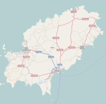
Platja Pou d'es Lleo is a beach on the north east seaboard of the Spanish island of Ibiza. It is in the municipality of Santa Eulària des Riu[1] and is 11.8 kilometres (7.3 mi)[2] north-east of the town of Santa Eulària des Riu, and 6.3 kilometres (3.9 mi) east of the village of San Carlos.[2]
Description
The beach at Pou d'es Lleo is a small crescent of sand encompassed by many typical Ibizan Fishermans rustic boathouses.[3] The cove is in fact a bustling little fishing port and has two seafood restaurants[4] as well as a small beach bar.[3] On both sides of the cove there are cliff paths which lead to many smaller secluded coves.[3] The slipways on the small main beach are always busy with local and tourist launching their boats. Great care should be taken in the port area when swimming as the launching of boats are a regular occurrence for most of the day.[3] The cove is a very popular snorkelling spot because of its interesting rock formations and underwater meadows of Neptune Grass.[4][5]
1936 Republican Landings
During the Spanish Civil War Platja Pou d'es Lleo[6] was the location for the re-capture of the island of Ibiza following the rebellion which saw the island fall under the control of nationalist at the start of the conflict. On the 8 August 1936 a thousand strong invasion force of republican troops led by an Air force captain Alberto Bayo.[7] They had disembarked in the bay, from a task force of republican navy ships made up of two destroyers, four transport ships, a submarine and six seaplanes which were escort by the battleship Jaime Primero.[7] The troops came ashore at Platja Pou d'es Lleo following the advice and guidance of local republicans from the nearby town of Santa Eulària.[8]
Gallery
- Platja Pou d'es Lleo
.jpg) View across the cove
View across the cove.jpg)
References
- ↑ Mapa Topografico Nacional de Espana, Santa Eulària des Riu 1:50.000. Published: IGN - CNIG (Spain Civilian Survey): 2006. ISBN 978-84-416-0041-6
- 1 2 "579 Regional Map, Spain, Islas Baleares. Pub:Michelin Editions des Voyages, 2004, ISBN 2-06-710098-X
- 1 2 3 4 Secret Beacches, Ibiza – Discovering the glorious isolation of the White Isle. Contents reference: Beach 11, pages 76/77/78/79. Author: Robert Smith. Publisher:One More Grain Of Sand 2012. ISBN 978-0-9569315-1-1
- 1 2 "Es Pou des Lleo Beach". Description and information on Pou des Lleo and surrounding area. © Copyright 1999–2013 Ibiza Spotlight. Retrieved 6 September 2013.
- ↑ Ibiza Spotlight (28 May 2006). "Ibiza's Monster Marine Plant". Retrieved 2013-09-06.
- ↑ "Ibiza History & Culter". History of Ibza by Emily Kaufman – The Spanish Civil War in the Pitiuses – Part Six. © Copyright 1982–2013 IBIZALIVE. Retrieved 6 September 2013.
- 1 2 The Spanish Civil War. Author: Thomas, Hugh. Publisher: Penguin Books 1961, 1965, and (3rd Ed), Works: Book 3, Chapter 30, page 325. ISBN 978-0-06-014278-0
- ↑ The Life and Death of a Spanish Town: Author: Elliot Paul Publisher: London : Peter Davis; Publisher USA; Random House, New York;1st Edition (1937). Work:Part two, Chapter 21, page 340, the Volunteers. ASIN B002DQL7GK
Beaches of Ibiza and Formentera | ||
|---|---|---|
| Ibiza |
| |
Blue Flag beachs on Ibiza | ||
| Formentera |
| |
| Espalmador |
| |