Preeceville
| Preeceville | |
|---|---|
| Town | |
|
The grain elevator in Preeceville | |
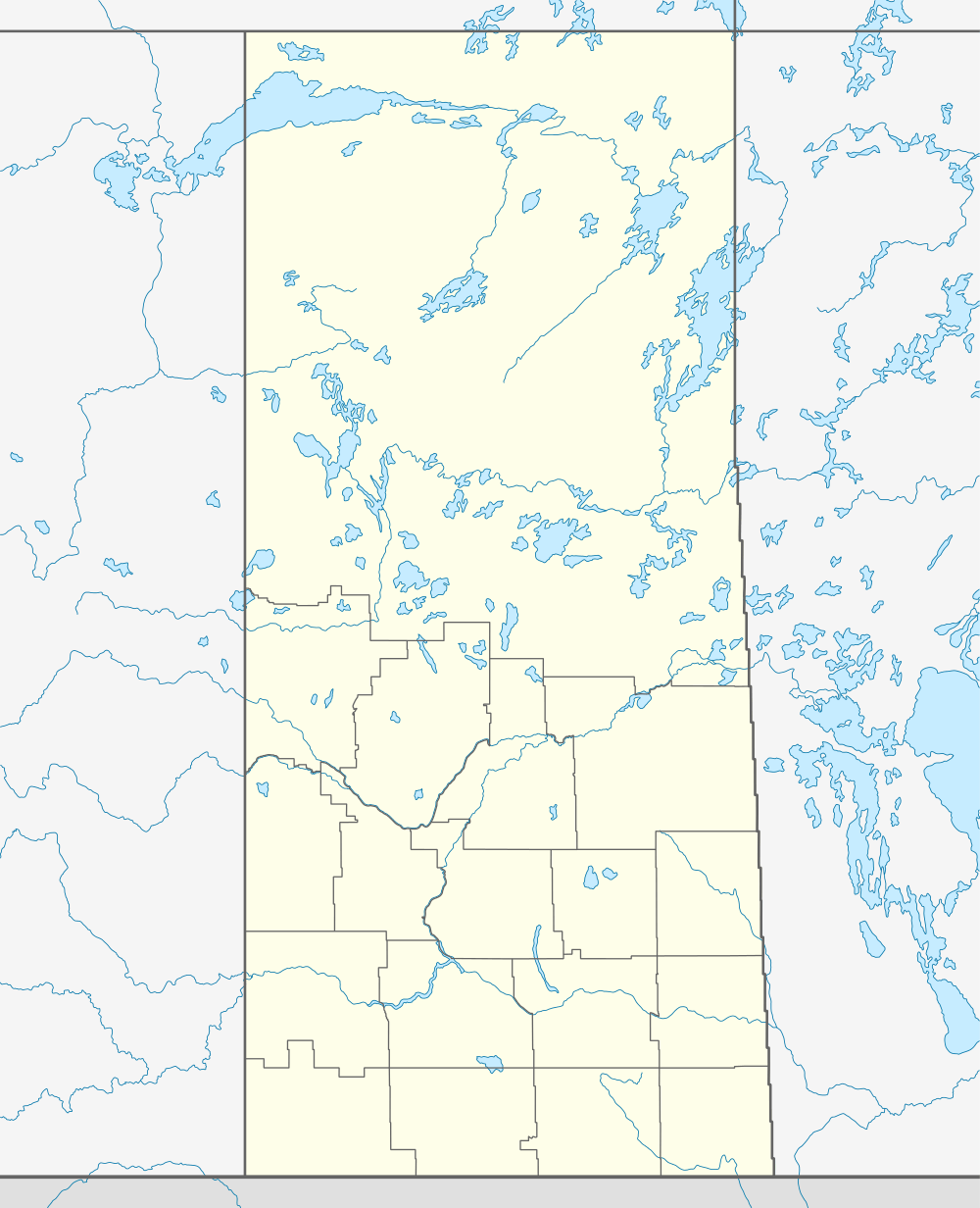 Preeceville 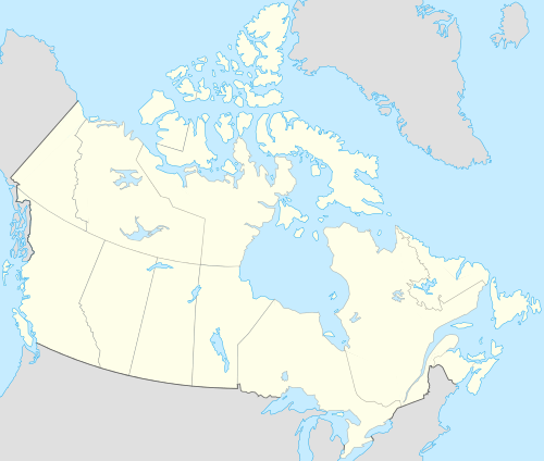 Preeceville Preeceville in Saskatchewan | |
| Coordinates: 51°57′29″N 102°40′02″W / 51.9580222°N 102.6673164°WCoordinates: 51°57′29″N 102°40′02″W / 51.9580222°N 102.6673164°W[1] | |
| Country | Canada |
| Province | Saskatchewan |
| Region | East Central |
| Census division | 9 |
| Rural Municipality | Preeceville No. 334 |
| Post office Founded | 1912-03-01 |
| Incorporated (Village) | 1912 |
| Incorporated (Town) | 1947 |
| Government | |
| • Mayor | Garth Harris |
| • Administrator | Lorelei Karcha |
| • Governing body | Preeceville Town Council |
| Area | |
| • Town | 3.06 km2 (1.18 sq mi) |
| Elevation[2] | 500 m (1,700 ft) |
| Population (2011) | |
| • Urban | 1,070 |
| • Urban density | 350.2/km2 (907/sq mi) |
| Time zone | CST (UTC-6) |
| • Summer (DST) | CST (UTC-6) |
| Postal code | S0A 3B0 |
| Area code(s) | 306/639 |
| Highways |
|
| Waterways | Assiniboine River |
| Website | Official Website |
| [3][4] | |

Preeceville is a town in Saskatchewan, Canada. The town is 10 km (6 miles) west of Sturgis and 99 km (62 miles) north of Yorkton at the junction of Highway 49, Highway 47, Highway 9 and near Highway 755.
Demographics
| Canada census – Preeceville community profile | |||
|---|---|---|---|
| 2011 | 2006 | ||
| Population: | 1,070 (1.9% from 2006) | 1,050 (- 6.4% from 2001) | |
| Land area: | 3.06 km2 (1.18 sq mi) | 2.79 km2 (1.08 sq mi) | |
| Population density: | 350.2/km2 (907/sq mi) | 376.9/km2 (976/sq mi) | |
| Median age: | 53.4 (M: 49.4, F: 57.8) | 54.35 (M: 49.1, F: 59.6) | |
| Total private dwellings: | 579 | 592 | |
| Median household income: | $13,264 | ||
| References: 2011[5] 2006[6] | |||
Transportation
The community is served by Preeceville Airport which is located 1 nautical mile (1.9 km) southeast.
Further reading
More Wikipedia Media
- List of communities in Saskatchewan
- List of towns in Saskatchewan
-
.jpg) Preeceville (Circa 1909)
Preeceville (Circa 1909)
External links
References
- ↑ "The Atlas of Canada Toporama". Retrieved August 20, 2014.
- ↑ "Preeceville - NRC". Natural Resources Canada. Retrieved 2014-08-20.
- ↑ National Archives, Archivia Net, Post Offices and Postmasters, retrieved 2013-12-01
- ↑ Government of Saskatchewan, MRD Home. "Municipal Directory System". Retrieved 2013-12-01.
- ↑ "2011 Community Profiles". Canada 2011 Census. Statistics Canada. July 5, 2013. Retrieved 2014-08-15.
- ↑ "2006 Community Profiles". Canada 2006 Census. Statistics Canada. March 30, 2011. Retrieved 2009-02-24.
 |
Kelvington | Endeavour | Pelly | |
| Hazel Dell | |
Sturgis | ||
| ||||
| | ||||
| Rama | Buchanan | Canora |
This article is issued from Wikipedia - version of the 8/7/2016. The text is available under the Creative Commons Attribution/Share Alike but additional terms may apply for the media files.