Pukeiti (gardens)
| Pukeiti | |
|---|---|
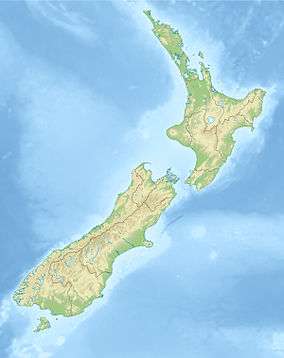
 Map of New Zealand | |
| Location | Taranaki, New Zealand |
| Nearest city | New Plymouth, New Zealand |
| Coordinates | 39°05′19″S 173°58′51″E / 39.08851°S 173.980829°ECoordinates: 39°05′19″S 173°58′51″E / 39.08851°S 173.980829°E |
| Area | 49 acres (20 ha) |
| Established | 1951 |
| Operated by | Taranaki Regional Council |
| Status | Open all year |
Pukeiti is a garden of international significance in Taranaki, in the western North Island of New Zealand. It is located in a gap between two sections of the Egmont National Park, to the northwest of the main cone of Mount Taranaki, on a saddle between it and the small Kaitake Range which stretches towards Oakura. The garden named for the Pukeiti (literally "little hill") lava dome which is nearby. It is listed as one of Taranaki's top 20 visitor attractions [1]
Founded in 1951 by William Douglas Cook (who also founded Eastwoodhill Arboretum, Ngatapa, Gisborne) and Russell Matthews, Pukeiti is now one of the country's top rhododendron gardens, run by the Taranaki Regional Council. Facilities include a visitor centre, restaurant, shop and covered walkways. The garden covers 20 hectares (49 acres) and is set among original and regenerating rainforest, with a total of 21 km (13 mi) of walkways.
An interactive catalog of plants at Pukeiti is available here.