Qaluyu
| Qaluyu | |
|---|---|
 Qaluyu Location within Bolivia | |
| Highest point | |
| Elevation | 4,202 m (13,786 ft) [1] |
| Coordinates | 16°37′39″S 68°38′02″W / 16.62750°S 68.63389°WCoordinates: 16°37′39″S 68°38′02″W / 16.62750°S 68.63389°W |
| Geography | |
| Location |
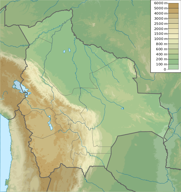
Bolivia La Paz Department |
| Parent range | Andes, Chilla-Kimsa Chata |
Qaluyu (Aymara qala stone, uyu corral,[2] "stone corral", also spelled Caluyo) is a 4,202-metre (13,786 ft) high mountain in the Chilla-Kimsa Chata mountain range in the Andes of Bolivia. It is located in the La Paz Department, Ingavi Province, Tiwanaku Municipality. Qaluyu is situated south-west of Pukara (Pucara) and south-east of the archaeological site of Tiwanaku. The village of Qaluyu (Caluyo) lies at its feet. [1][3]
References
- 1 2 IGM map 1:50,000 5844-II Tiahuanacu
- ↑ Radio San Gabriel, "Instituto Radiofonico de Promoción Aymara" (IRPA) 1993, Republicado por Instituto de las Lenguas y Literaturas Andinas-Amazónicas (ILLLA-A) 2011, Transcripción del Vocabulario de la Lengua Aymara, P. Ludovico Bertonio 1612 (Spanish-Aymara-Aymara-Spanish dictionary)
- ↑ "Tiawanacu". INE, Bolivia. Retrieved October 26, 2014. (unnamed)
This article is issued from Wikipedia - version of the 12/6/2015. The text is available under the Creative Commons Attribution/Share Alike but additional terms may apply for the media files.