Qingchuan County
| Qingchuan County | |
|---|---|
| County | |
| Chinese transcription(s) | |
| • Chinese | 青川县 |
| • Pinyin | Qīngchuān Xiàn |
.png) Location of Qingchuan County within Guangyuan, Sichuan | |
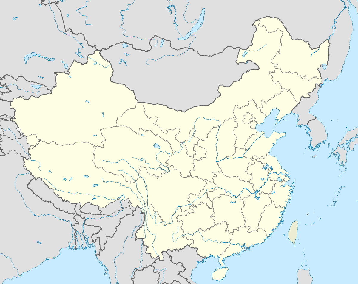 Qingchuan County Location in China | |
| Coordinates: 32°36′0″N 105°12′50″E / 32.60000°N 105.21389°ECoordinates: 32°36′0″N 105°12′50″E / 32.60000°N 105.21389°E | |
| Country | China |
| Province | Sichuan |
| Prefecture | Guangyuan |
| County seat | Qiaozhuang (乔庄镇) |
| Area | |
| • Total | 3,271 km2 (1,263 sq mi) |
| Population | |
| • Total | 248,000 |
| • Density | 76/km2 (200/sq mi) |
| Time zone | China Standard (UTC+8) |
| Postal code | 648100 |
| Area code(s) | 0839 |
| Website | http://www.cnqc.gov.cn/ |
Qingchuan County (Chinese: 青川县; Pinyin: Qīngchuān Xiàn) is a county in Sichuan, China, under the jurisdiction of the prefecture-level city Guangyuan. It has an area of 3271 square kilometers and a population of 248,000,[1] including Han Chinese as well as Hui people.
On May 12, 2008 a 7.9 magnitude earthquake hit the region causing widespread devastation.[2]
Administrative divisions
Qingchuan has 8 towns, 25 townships, and 2 Ethnic townships.
- Towns:
- Qiaozhuang (乔庄镇)
- Qingxi (青溪镇)
- Fangshi (房石镇)
- Guanzhuang (关庄镇)
- Liangshui (凉水镇)
- Zhuyuan (竹园镇)
- Muyu (木鱼镇)
- Shazhou (沙州镇)
- Yaodu (姚渡镇)
- Townships
- Huangping (黄坪乡)
- Wali (瓦砾乡)
- Kongxi (孔溪乡)
- Chaba (茶坝乡)
- Daba (大坝乡)
- Qiaolou (桥楼乡)
- Sanguo (三锅乡)
- Le'ansi (乐安寺乡)
- Qianjin (前进乡)
- Quhe (曲河乡)
- Magong (马公乡)
- Shiba (石坝乡)
- Hongguang (红光乡)
- Suhe (苏河乡)
- Maoba (茅坝乡)
- Louzi (楼子乡)
- Jinzishan (金子山乡)
- Malu (马鹿乡)
- Qifo (七佛乡)
- Jianfeng (建峰乡)
- Baijia (白家乡)
- Banqiao (板桥乡)
- Qima (骑马乡)
- Guanyindian (观音店乡)
- Yingpan (营盘乡)
- Ethnic townships
- Dayuan Hui (大院回族乡)
- Haoxi Hui (蒿溪回族乡)
- Tangjiahe National Nature Reserve (唐家河国家级自然保护区)
References
- ↑ (Chinese) Profile of Qingchuan County, People's Daily Online, visited on May 14, 2008.
- ↑ Massive quake kills thousands in China - China earthquake - MSNBC.com
External links
This article is issued from Wikipedia - version of the 11/17/2013. The text is available under the Creative Commons Attribution/Share Alike but additional terms may apply for the media files.