Röstånga
| Röstånga | |
|---|---|
|
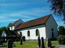
Röstånga Church | |
 Röstånga 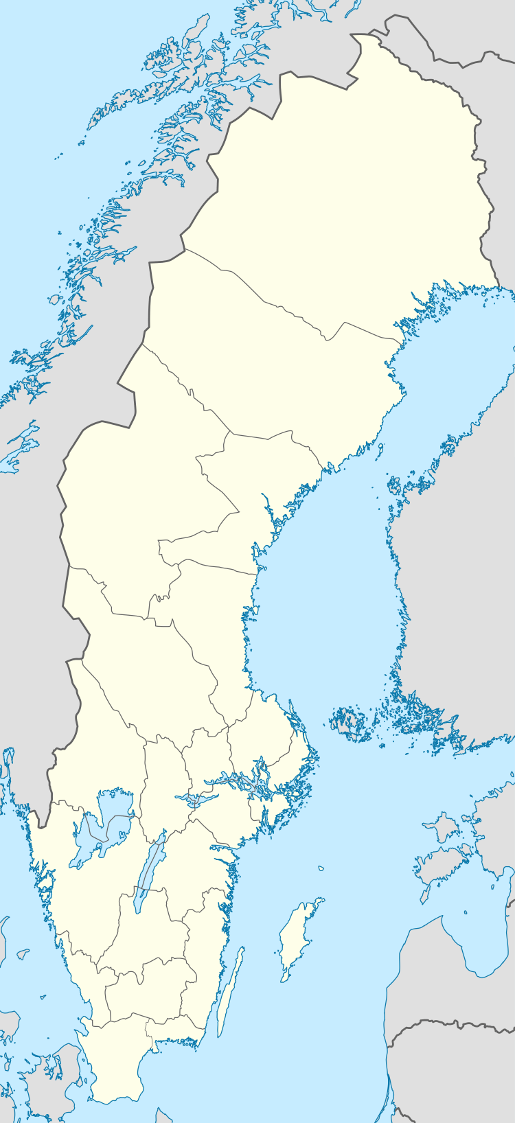 Röstånga | |
| Coordinates: 56°00′N 13°17′E / 56.000°N 13.283°ECoordinates: 56°00′N 13°17′E / 56.000°N 13.283°E | |
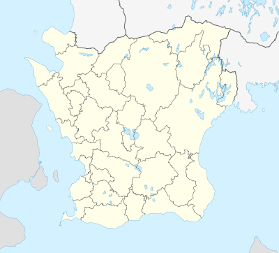
| Country | Sweden |
| Province | Skåne |
| County | Skåne County |
| Municipality | Svalöv Municipality |
| Area[1] | |
| • Total | 1.32 km2 (0.51 sq mi) |
| Population (31 December 2010)[1] | |
| • Total | 839 |
| • Density | 637/km2 (1,650/sq mi) |
| Time zone | CET (UTC+1) |
| • Summer (DST) | CEST (UTC+2) |
Röstånga is a locality situated in Svalöv Municipality, Skåne County, Sweden with 839 inhabitants in 2010.[1]
At Röstånga there is an entrance to the Söderåsen National Park. The main entrance is at Skäralid, 5 km further north. There is also a valley called Nackarpsdalen, at the end of which there is a lake called Odensjön.
To get to Röstånga by public transport, one can take a local train to Stehag, then bus (directions Klippan, Skäralid and Ljungbyhed). There are also bus connections with Svalöv and Teckomatorp.
References
- 1 2 3 "Tätorternas landareal, folkmängd och invånare per km2 2005 och 2010" (in Swedish). Statistics Sweden. 14 December 2011. Archived from the original on 10 January 2012. Retrieved 10 January 2012.
This article is issued from Wikipedia - version of the 8/6/2016. The text is available under the Creative Commons Attribution/Share Alike but additional terms may apply for the media files.