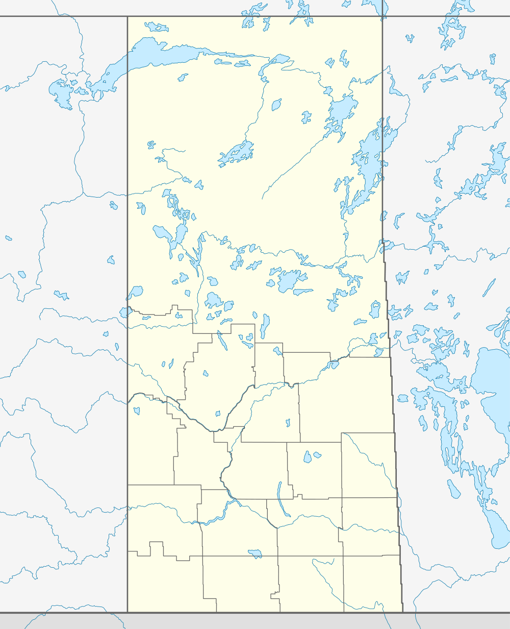
Rabbit Lake, Saskatchewan
For other uses, see Rabbit Lake (disambiguation).
| Rabbit Lake, Saskatchewan | |
|---|---|
| Village | |
 Rabbit Lake, Saskatchewan  Rabbit Lake, Saskatchewan | |
| Coordinates: 53°04′58″N 107°27′38″W / 53.082806°N 107.460426°W | |
| Country | Canada |
| Province | Saskatchewan |
| Region | West Central |
| Census division | 6 |
| Rural Municipality | Round Hill |
| Government | |
| • Governing body | Rabbit Lake Village Council |
| Area | |
| • Total | 0.92 km2 (0.36 sq mi) |
| Population (2006) | |
| • Total | 113 |
| • Density | 123.4/km2 (320/sq mi) |
| • Dwellings | 61 |
| Time zone | CST |
| Postal code | S0M 2L0 |
| Area code(s) | 306 |
| Highways | Highway 378 |
| Railways | Canadian Pacific Railway |
| [1][2][3][4] | |
Rabbit Lake is a village in Round Hill Rural Municipality No. 467, Saskatchewan, Canada. The population was 113 at the 2006 Canada Census a substantial 29.9% increase from the 2001 Canada Census.
Demographics
In 2006, Rabbit Lake had a population of 113 living in 61 dwellings, a 29.9% increase from 2001. The village had a land area of 0.92 km2 (0.36 sq mi) and a population density of 123.4/km2 (320/sq mi).[5]
See also
References
- ↑ National Archives, Archivia Net. "Post Offices and Postmasters".
- ↑ Government of Saskatchewan, MRD Home. "Municipal Directory System".
- ↑ Canadian Textiles Institute. (2005). "CTI Determine your provincial constituency".
- ↑ Commissioner of Canada Elections, Chief Electoral Officer of Canada (2005). "Elections Canada On-line".
- ↑ Statistics Canada. "Rabbit Lake - Community Profile". Census 2006. Retrieved September 30, 2010.
External links
- Municipal Affairs - Rabbit Lake, Saskatchewan
 |
Bournemouth | Moose Range | Shady Bay | |
| Sandwith | |
Meeting Lake | ||
| ||||
| | ||||
| Hillside | Square Hill | Mullingar |
| Subdivisions | |
|---|---|
| Communities | |
| Cities | |
| Topics |
|
| |
Coordinates: 53°08′28″N 107°46′04″W / 53.14111°N 107.76778°W
This article is issued from Wikipedia - version of the 8/7/2016. The text is available under the Creative Commons Attribution/Share Alike but additional terms may apply for the media files.